Transport Functions
Port
Road
Hub Profile
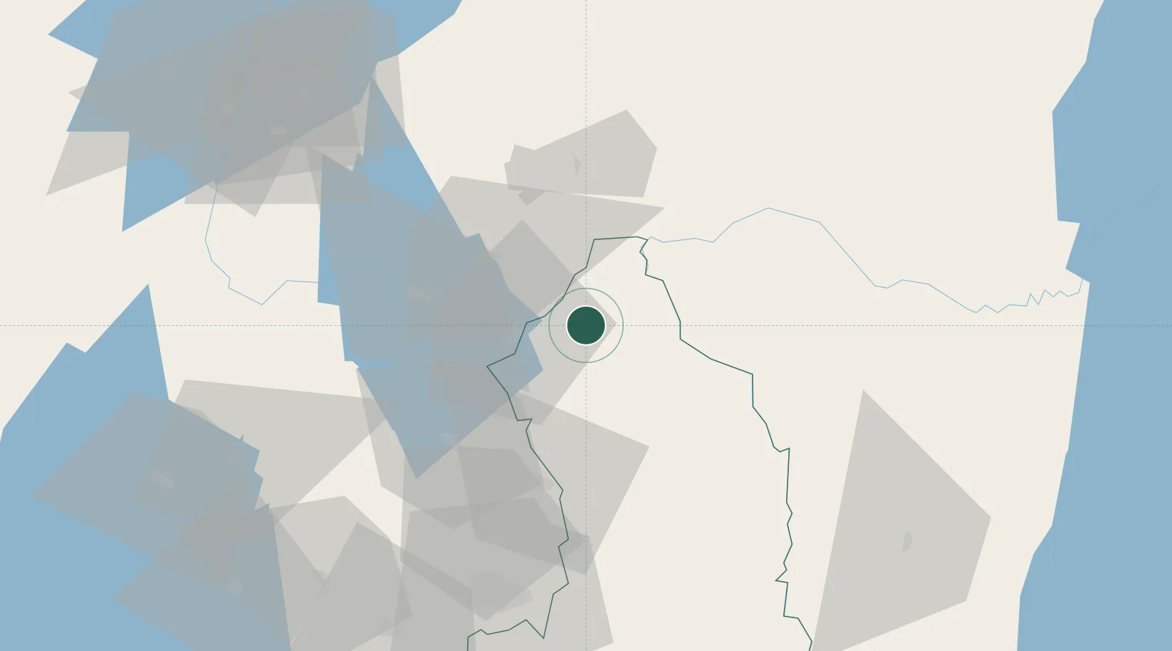
Place type
Populated place
Region
Eastern Province
Population
100,000
Time zone
Africa/Kigali
Elevation
1,342 m
Location
Nearby Logistics Neighbours
Airports
- 1Kisoro Airport66 km
- 2Kigali International Airport79 km
- 3Savannah Airstrip93 km
- 4Gisenyi Airport126 km
- 5Goma International Airport127 km
Trade Zones
DatabookThe Record of Consolidated Knowledge
Rwanda beyond logistics?