Large airport · Rwanda

Kigali International AirportHRYR
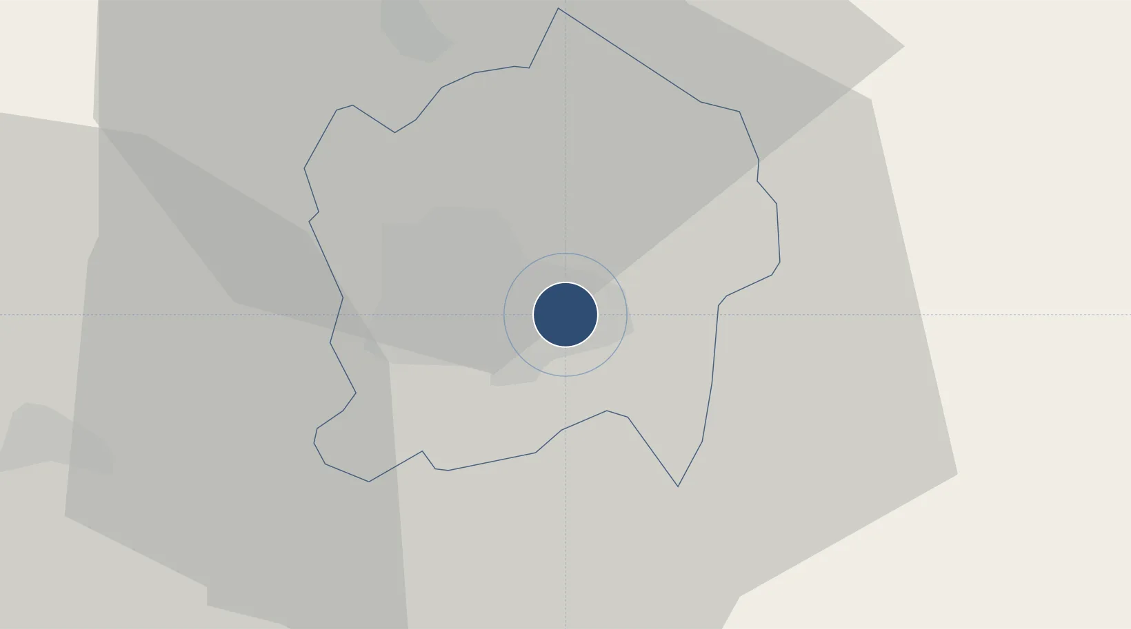
-1.9686°, 30.1395°
11,483 ft
Longest runway
1
Runways
4,859 ft
Elevation

Runway & Layout

Kigali International Airport runway & taxiway layout
Runway & taxiway layout — OpenStreetMap (ODbL) / OurAirports

Radio Frequencies

ATIS
128.7 MHz
TWR
118.3 MHz
GND
121.7 MHz
APP
124.3 MHz
OurAirports

Navaids

KNM VOR-DME Kigali 114.90 MHz
OurAirports

Runways · 1

RunwayDimensions SurfaceTrue headingLit
10/28 11,483 × 148ft Asphalt 100°
OurAirports

Airport Specifications

IATA code
KGL
OurAirports
ICAO code
HRYR
OurAirports
Airport class
Large airport
OurAirports
Scheduled service
Yes
OurAirports
Runway surface
Asphalt
OurAirports
Served city
Kigali
OurAirports

Location

Location of HRYR
Natural Earth 10m (public domain) · Kigali City · HRYR · -1.97, 30.14GoogleOSMYandex

Nearby Logistics Neighbours

Airports
  1. 1Kirundo Airport64 km
  2. 2Kisoro Airport89 km
  3. 3Gisenyi Airport103 km
  4. 4Goma International Airport106 km
  5. 5Kamembe Airport147 km
Nearest neighbours — logibook spatial index (haversine) over the source coordinates
Cities
  1. 1Mutara43 km
  2. 2Nyagatare79 km
  3. 3Cibitoke174 km
  4. 4Kibondo191 km
  5. 5Kasulu289 km
Nearest neighbours — logibook spatial index (haversine) over the source coordinates
Ports
  1. 1Tanga1055 km
  2. 2Mombasa1083 km
  3. 3Kilifi1096 km
  4. 4Zanzibar1106 km
  5. 5Malindi1119 km
Nearest neighbours — logibook spatial index (haversine) over the source coordinates
Trade Zones
  1. 1Kigali Special Economic Zone3 km
  2. 2Kicukiro SME Park4 km
  3. 3Rwamagana Industrial Park14 km
  4. 4Bugesera Industrial Park19 km
  5. 5Musanze Industrial Park44 km
Nearest neighbours — logibook spatial index (haversine) over the source coordinates
DatabookThe Record of Consolidated Knowledge
Rwanda beyond logistics?
Browse databook

All Sources

AirportsOurAirports
Public domain
Portsthe NGA World Port Index
Public domain (US gov)
LocationsUN/LOCODE
UN/LOCODE — free
Trade Zonesthe World Bank SEZ database
CC BY 4.0
Trade ZonesOpen Zone Map
CC BY
InfrastructureOpenStreetMap
ODbL 1.0
← Rwanda airports