Small airport · Uganda

Kisoro AirportUG-0001
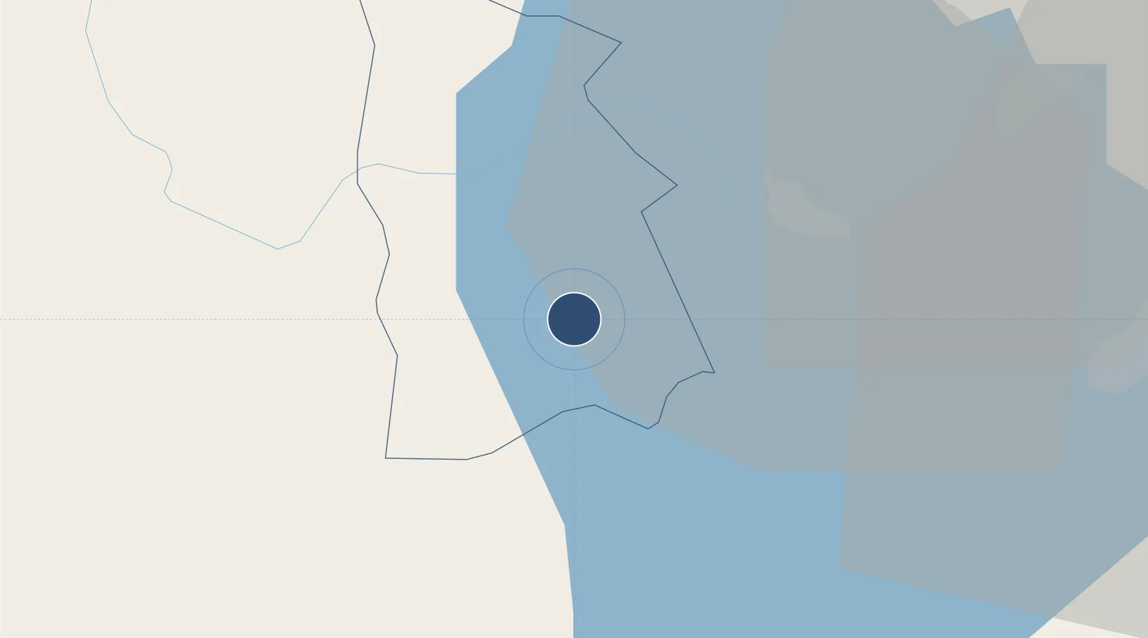
-1.2837°, 29.7197°
3,937 ft
Longest runway
1
Runways
6,200 ft
Elevation

Runway & Layout

Kisoro Airport runway & taxiway layout
Runway & taxiway layout — OpenStreetMap (ODbL) / OurAirports

Runways · 1

RunwayDimensions SurfaceTrue headingLit
18/36 3,937 × 72ft Asphalt 172°
OurAirports

Airport Specifications

IATA code
KXO
OurAirports
ICAO code
HUKI
OurAirports
Airport class
Small airport
OurAirports
Scheduled service
Yes
OurAirports
Runway surface
Asphalt
OurAirports
Served city
Kisoro
OurAirports

Location

Location of UG-0001
Natural Earth 10m (public domain) · Kisoro · UG-0001 · -1.28, 29.72GoogleOSMYandex

Nearby Logistics Neighbours

Airports
  1. 1Savannah Airstrip63 km
  2. 2Gisenyi Airport67 km
  3. 3Goma International Airport68 km
  4. 4Kigali International Airport89 km
  5. 5Kirundo Airport146 km
Nearest neighbours — logibook spatial index (haversine) over the source coordinates
Cities
  1. 1Mutara47 km
  2. 2Nyagatare66 km
  3. 3Cibitoke231 km
  4. 4Kibondo279 km
  5. 5Kasulu368 km
Nearest neighbours — logibook spatial index (haversine) over the source coordinates
Ports
  1. 1Tanga1125 km
  2. 2Mombasa1147 km
  3. 3Kilifi1157 km
  4. 4Malindi1177 km
  5. 5Zanzibar1182 km
Nearest neighbours — logibook spatial index (haversine) over the source coordinates
Trade Zones
  1. 1Kabale Industrial Park30 km
  2. 2Kabaale Industrial Park31 km
  3. 3Nyabihu Industrial Park43 km
  4. 4Musanze Industrial Park68 km
  5. 5Nyagatare Industrial Park69 km
Nearest neighbours — logibook spatial index (haversine) over the source coordinates
DatabookThe Record of Consolidated Knowledge
Uganda beyond logistics?
Browse databook

All Sources

AirportsOurAirports
Public domain
Portsthe NGA World Port Index
Public domain (US gov)
LocationsUN/LOCODE
UN/LOCODE — free
Trade Zonesthe World Bank SEZ database
CC BY 4.0
Trade ZonesOpen Zone Map
CC BY
InfrastructureOpenStreetMap
ODbL 1.0
← Uganda airports