Transport Functions
Port
Airport
Hub Profile
Place type
Regional capital
Region
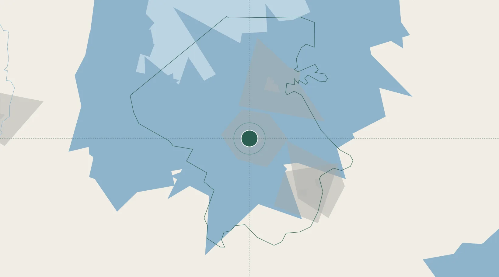
Mwanza
Population
1,104,521
Time zone
Africa/Dar_es_Salaam
Elevation
1,144 m
Location
Nearby Logistics Neighbours
Airports
- 1Mwanza International Airport9 km
- 2Shinyanga Airport139 km
- 3Musoma Airport151 km
- 4Bukoba Airport178 km
- 5Seronera Airport214 km
Trade Zones
DatabookThe Record of Consolidated Knowledge
Tanzania beyond logistics?