Export Processing Zone · Uganda

Mbarara Industrial Park Under Development
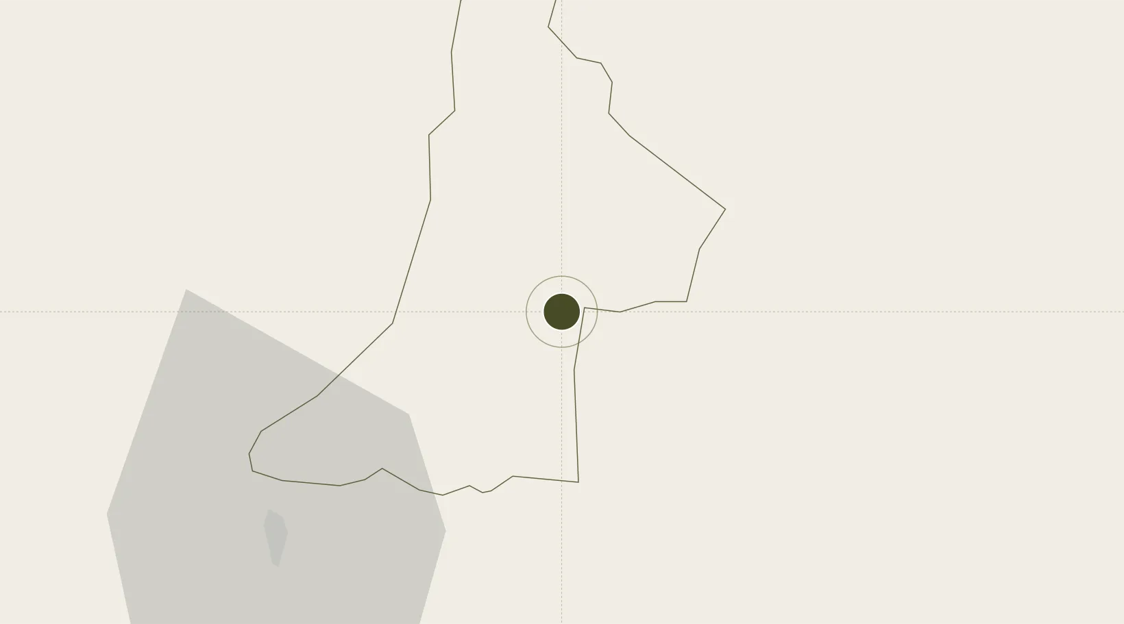
-0.6167°, 30.6208°
12 ha
Zone area
1,066.1 km
Nearest port
103.0 km
Nearest airport

Gateway access

Nearest neighbours — logibook spatial index (haversine) over the source coordinates

Zone profile

Zone type
Export Processing Zone
Open Zone Map
Region
Mbarara
Open Zone Map
Status
Under Development
Open Zone Map
Management
Private
Open Zone Map
Operator
Seed Technical Services Ltd
Open Zone Map
Legal framework
Free Zones Act, 2014 (No. 5 of 2014).
Open Zone Map

Location

Location of ozm-4590
Natural Earth 10m (public domain) · Mbarara · ozm-4590 · -0.62, 30.62GoogleOSMYandex

Nearby Logistics Neighbours

Ports
  1. 1Tanga1066 km
  2. 2Mombasa1076 km
  3. 3Kilifi1081 km
  4. 4Malindi1096 km
  5. 5Zanzibar1133 km
Nearest neighbours — logibook spatial index (haversine) over the source coordinates
Airports
  1. 1Savannah Airstrip103 km
  2. 2Kisoro Airport125 km
  3. 3Bukoba Airport155 km
  4. 4Kigali International Airport160 km
  5. 5Gisenyi Airport192 km
Nearest neighbours — logibook spatial index (haversine) over the source coordinates
Cities
  1. 1Nyagatare82 km
  2. 2Mutara135 km
  3. 3Mukono260 km
  4. 4Rwamagana286 km
  5. 5Galiraya328 km
Nearest neighbours — logibook spatial index (haversine) over the source coordinates
Trade Zones
  1. 1Bushenyi Industrial Park49 km
  2. 2Nyagatare Industrial Park79 km
  3. 3Rakai Industrial Park89 km
  4. 4Kabale Industrial Park100 km
  5. 5Kabaale Industrial Park100 km
Nearest neighbours — logibook spatial index (haversine) over the source coordinates
DatabookThe Record of Consolidated Knowledge
Uganda beyond logistics?
Browse databook

All Sources

Trade ZonesOpen Zone Map
CC BY
Portsthe NGA World Port Index
Public domain (US gov)
AirportsOurAirports
Public domain
LocationsUN/LOCODE
UN/LOCODE — free
← Uganda trade zones