Medium airport · Uganda

Savannah AirstripUG-0002
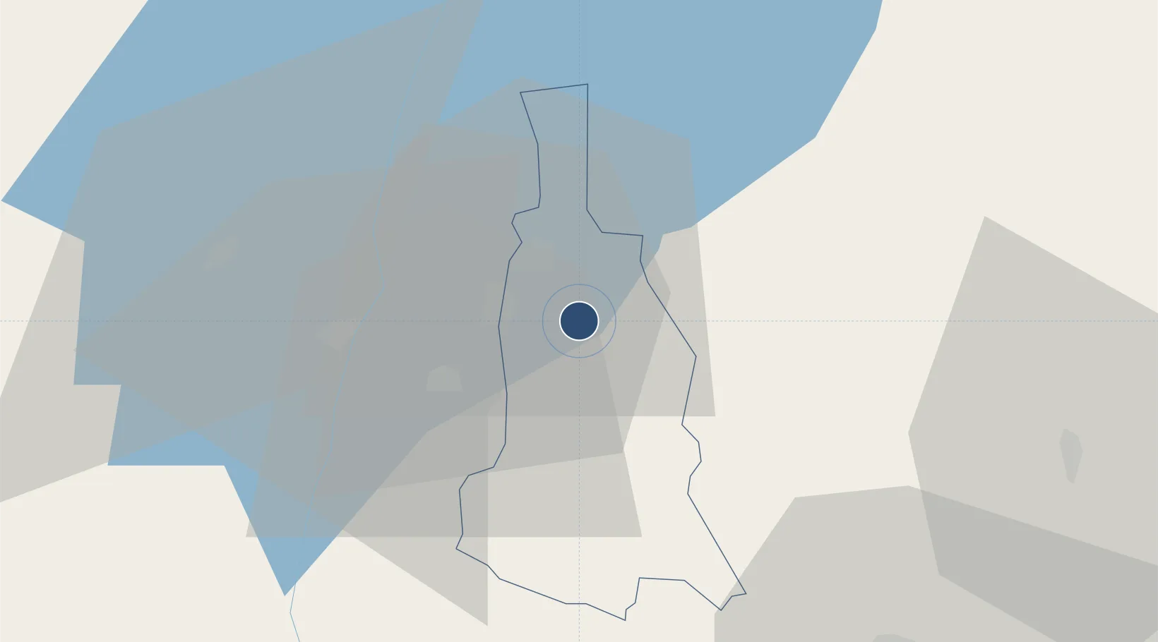
-0.7165°, 29.6997°
6,004 ft
Longest runway
1
Runways
3,600 ft
Elevation

Runway & Layout

Savannah Airstrip runway & taxiway layout
Runway & taxiway layout — OpenStreetMap (ODbL) / OurAirports

Runways · 1

RunwayDimensions SurfaceTrue headingLit
02/20 6,004 × 93ft Dirt
OurAirports

Airport Specifications

IATA code
KHX
OurAirports
Airport class
Medium airport
OurAirports
Scheduled service
Yes
OurAirports
Runway surface
Dirt
OurAirports
Served city
Kihihi
OurAirports

Location

Location of UG-0002
Natural Earth 10m (public domain) · Kanungu · UG-0002 · -0.72, 29.70GoogleOSMYandex

Nearby Logistics Neighbours

Airports
  1. 1Kisoro Airport63 km
  2. 2Goma International Airport118 km
  3. 3Gisenyi Airport118 km
  4. 4Kigali International Airport148 km
  5. 5Bukavu Kavumu Airport203 km
Nearest neighbours — logibook spatial index (haversine) over the source coordinates
Cities
  1. 1Nyagatare93 km
  2. 2Mutara106 km
  3. 3Cibitoke293 km
  4. 4Rwamagana308 km
  5. 5Kibondo338 km
Nearest neighbours — logibook spatial index (haversine) over the source coordinates
Ports
  1. 1Tanga1153 km
  2. 2Mombasa1168 km
  3. 3Kilifi1175 km
  4. 4Malindi1192 km
  5. 5Zanzibar1214 km
Nearest neighbours — logibook spatial index (haversine) over the source coordinates
Trade Zones
  1. 1Bushenyi Industrial Park58 km
  2. 2Kabale Industrial Park67 km
  3. 3Kabaale Industrial Park69 km
  4. 4Nyagatare Industrial Park94 km
  5. 5Nyabihu Industrial Park101 km
Nearest neighbours — logibook spatial index (haversine) over the source coordinates
DatabookThe Record of Consolidated Knowledge
Uganda beyond logistics?
Browse databook

All Sources

AirportsOurAirports
Public domain
Portsthe NGA World Port Index
Public domain (US gov)
LocationsUN/LOCODE
UN/LOCODE — free
Trade Zonesthe World Bank SEZ database
CC BY 4.0
Trade ZonesOpen Zone Map
CC BY
InfrastructureOpenStreetMap
ODbL 1.0
← Uganda airports