Export Processing Zone · Uganda

Mubende Industrial Park Active
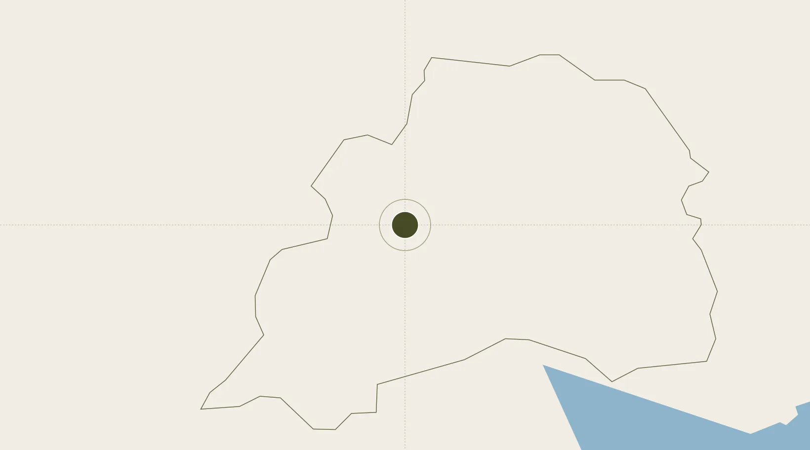
0.5495°, 31.3885°
2 ha
Zone area
1,050.7 km
Nearest port
130.2 km
Nearest airport

Gateway access

Nearest neighbours — logibook spatial index (haversine) over the source coordinates

Zone profile

Zone type
Export Processing Zone
Open Zone Map
Region
Mubende
Open Zone Map
Status
Active
Open Zone Map
Management
Public-Private Partnership
Open Zone Map
Operator
Uganda Investment Authority
Open Zone Map
Legal framework
Free Zones Act, 2014 (No. 5 of 2014).
Open Zone Map

Location

Location of ozm-4588
Natural Earth 10m (public domain) · Mubende · ozm-4588 · 0.55, 31.39GoogleOSMYandex

Nearby Logistics Neighbours

Ports
  1. 1Kilifi1051 km
  2. 2Mombasa1053 km
  3. 3Malindi1058 km
  4. 4Tanga1063 km
  5. 5Lamu1103 km
Nearest neighbours — logibook spatial index (haversine) over the source coordinates
Airports
  1. 1Entebbe International Airport130 km
  2. 2Bunia Airport172 km
  3. 3Bukoba Airport215 km
  4. 4Savannah Airstrip235 km
  5. 5Gulu Airport269 km
Nearest neighbours — logibook spatial index (haversine) over the source coordinates
Cities
  1. 1Mukono153 km
  2. 2Galiraya184 km
  3. 3Rwamagana189 km
  4. 4Nyagatare236 km
  5. 5Mutara291 km
Nearest neighbours — logibook spatial index (haversine) over the source coordinates
Trade Zones
  1. 1Hoima Industrial Park100 km
  2. 2Masaka Industrial Park106 km
  3. 3Kaweweta Special Economic Zone116 km
  4. 4Entebbe International Airport Free Zone131 km
  5. 5Luwero Industrial Park132 km
Nearest neighbours — logibook spatial index (haversine) over the source coordinates
DatabookThe Record of Consolidated Knowledge
Uganda beyond logistics?
Browse databook

All Sources

Trade ZonesOpen Zone Map
CC BY
Portsthe NGA World Port Index
Public domain (US gov)
AirportsOurAirports
Public domain
LocationsUN/LOCODE
UN/LOCODE — free
← Uganda trade zones