Free Trade Zone · Uganda

Lake Victoria Free Trade Zone (Sseesamirembe City) Under Development
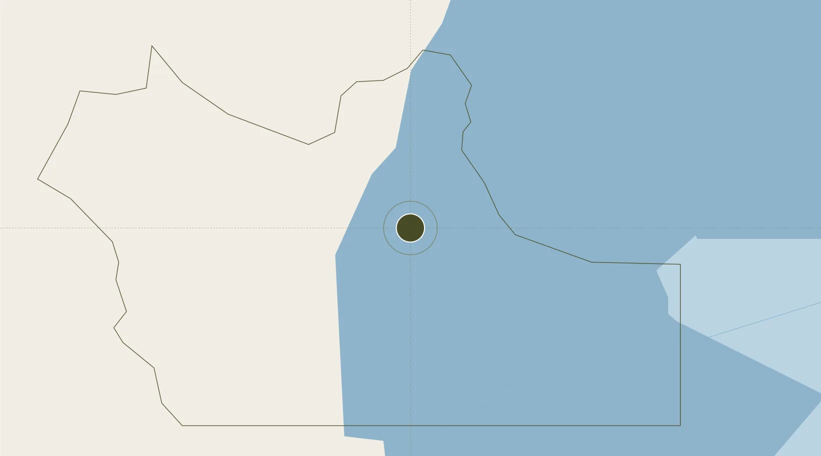
-0.7225°, 31.6034°
518 ha
Zone area
964.9 km
Nearest port
72.0 km
Nearest airport

Gateway access

Nearest neighbours — logibook spatial index (haversine) over the source coordinates

Zone profile

Zone type
Free Trade Zone
Open Zone Map
Region
Rakai
Open Zone Map
Status
Under Development
Open Zone Map
Management
Private
Open Zone Map
Operator
Kagera Eco-Cities Limited
Open Zone Map
Legal framework
Free Zones Act, 2014 (No. 5 of 2014).
Open Zone Map

Location

Location of ozm-4608
Natural Earth 10m (public domain) · Rakai · ozm-4608 · -0.72, 31.60GoogleOSMYandex

Nearby Logistics Neighbours

Ports
  1. 1Tanga965 km
  2. 2Mombasa970 km
  3. 3Kilifi974 km
  4. 4Malindi988 km
  5. 5Zanzibar1036 km
Nearest neighbours — logibook spatial index (haversine) over the source coordinates
Airports
  1. 1Bukoba Airport72 km
  2. 2Entebbe International Airport126 km
  3. 3Savannah Airstrip212 km
  4. 4Kigali International Airport214 km
  5. 5Kisoro Airport219 km
Nearest neighbours — logibook spatial index (haversine) over the source coordinates
Cities
  1. 1Nyagatare156 km
  2. 2Mukono175 km
  3. 3Mutara210 km
  4. 4Mwanza246 km
  5. 5Galiraya265 km
Nearest neighbours — logibook spatial index (haversine) over the source coordinates
Trade Zones
  1. 1Rakai Industrial Park21 km
  2. 2Masaka Industrial Park45 km
  3. 3Mbarara Industrial Park110 km
  4. 4Entebbe International Airport Free Zone126 km
  5. 5Mubende Industrial Park143 km
Nearest neighbours — logibook spatial index (haversine) over the source coordinates
DatabookThe Record of Consolidated Knowledge
Uganda beyond logistics?
Browse databook

All Sources

Trade ZonesOpen Zone Map
CC BY
Portsthe NGA World Port Index
Public domain (US gov)
AirportsOurAirports
Public domain
LocationsUN/LOCODE
UN/LOCODE — free
← Uganda trade zones