Transport Functions
Multimodal
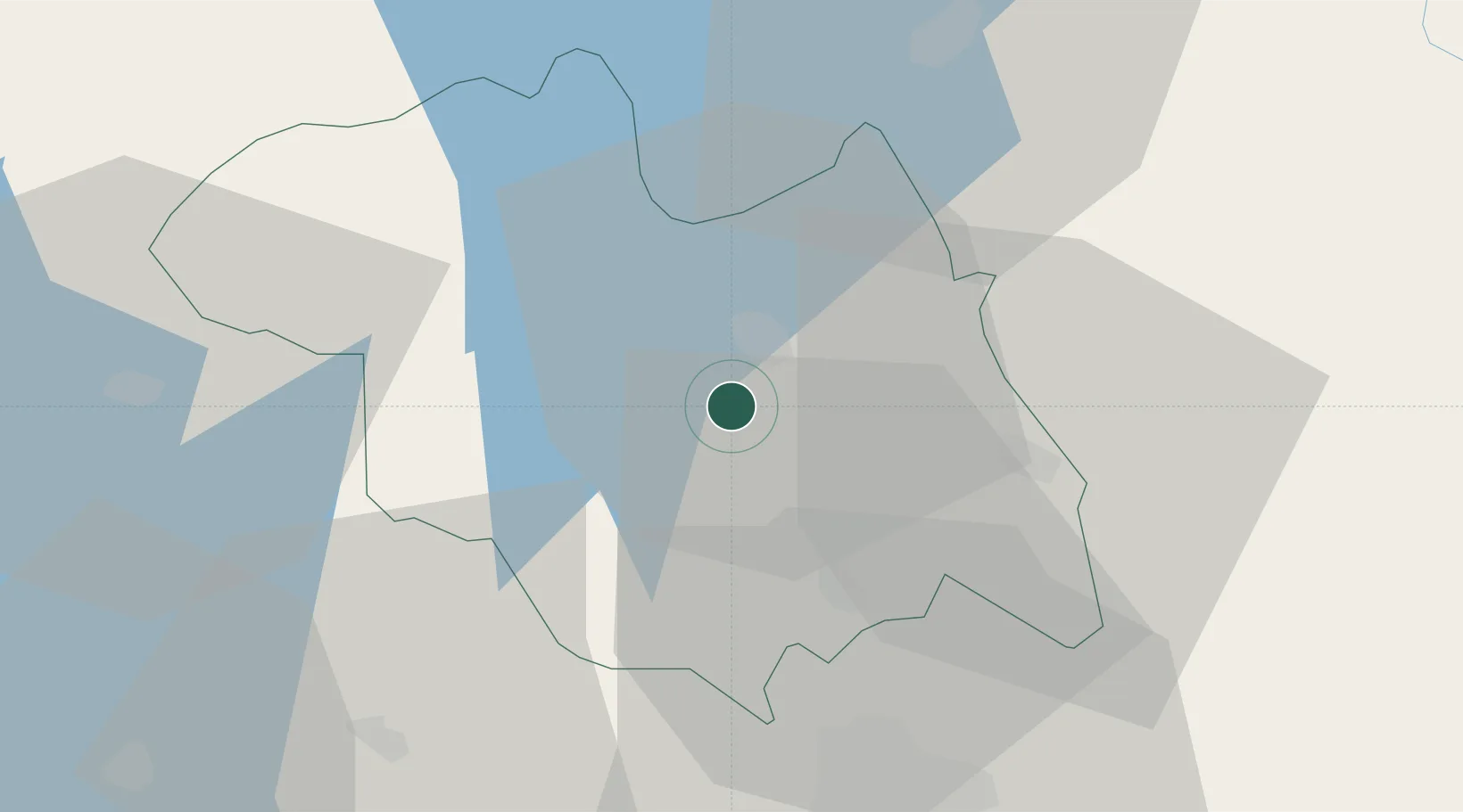
Hub Profile
Place type
Locality
Region
Northern Province
Time zone
Africa/Kigali
Elevation
1,950 m
Location
Nearby Logistics Neighbours
Airports
- 1Kigali International Airport43 km
- 2Kisoro Airport47 km
- 3Gisenyi Airport77 km
- 4Goma International Airport79 km
- 5Kirundo Airport103 km
Trade Zones
- 1Musanze Industrial Park36 km
- 2Kicukiro SME Park41 km
- 3Kabaale Industrial Park42 km
- 4Kigali Special Economic Zone42 km
- 5Kabale Industrial Park43 km
DatabookThe Record of Consolidated Knowledge
Rwanda beyond logistics?