Export Processing Zone · Uganda

Soroti Industrial Park Inactive
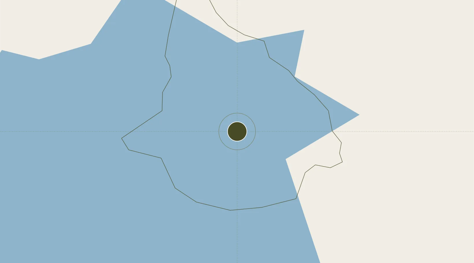
1.7311°, 33.5934°
88 ha
Zone area
911.6 km
Nearest port
3.3 km
Nearest airport

Gateway access

Nearest neighbours — logibook spatial index (haversine) over the source coordinates

Zone profile

Zone type
Export Processing Zone
Open Zone Map
Region
Soroti
Open Zone Map
Status
Inactive
Open Zone Map
Management
Private
Open Zone Map
Operator
Soroti Fruits Limited
Open Zone Map
Legal framework
Free Zones Act, 2014 (No. 5 of 2014).
Open Zone Map

Location

Location of ozm-4595
Natural Earth 10m (public domain) · Soroti · ozm-4595 · 1.73, 33.59GoogleOSMYandex

Nearby Logistics Neighbours

Ports
  1. 1Malindi912 km
  2. 2Kilifi918 km
  3. 3Lamu926 km
  4. 4Mombasa933 km
  5. 5Tanga975 km
Nearest neighbours — logibook spatial index (haversine) over the source coordinates
Airports
  1. 1Soroti Airport3 km
  2. 2Kitale Airport174 km
  3. 3Gulu Airport189 km
  4. 4Entebbe International Airport227 km
  5. 5Eldoret International Airport235 km
Nearest neighbours — logibook spatial index (haversine) over the source coordinates
Cities
  1. 1Galiraya94 km
  2. 2Malaba145 km
  3. 3Moroto146 km
  4. 4Bungoma169 km
  5. 5Mukono180 km
Nearest neighbours — logibook spatial index (haversine) over the source coordinates
Trade Zones
  1. 1Sino-Uganda Mbale Industrial Park95 km
  2. 2Lira Industrial Park95 km
  3. 3Kamuli Science Technology & Innovations Park102 km
  4. 4Iganga Industrial Park127 km
  5. 5Tororo Industrial Park134 km
Nearest neighbours — logibook spatial index (haversine) over the source coordinates
DatabookThe Record of Consolidated Knowledge
Uganda beyond logistics?
Browse databook

All Sources

Trade ZonesOpen Zone Map
CC BY
Portsthe NGA World Port Index
Public domain (US gov)
AirportsOurAirports
Public domain
LocationsUN/LOCODE
UN/LOCODE — free
← Uganda trade zones