Export Processing Zone · Uganda

Lira Industrial Park Under Development
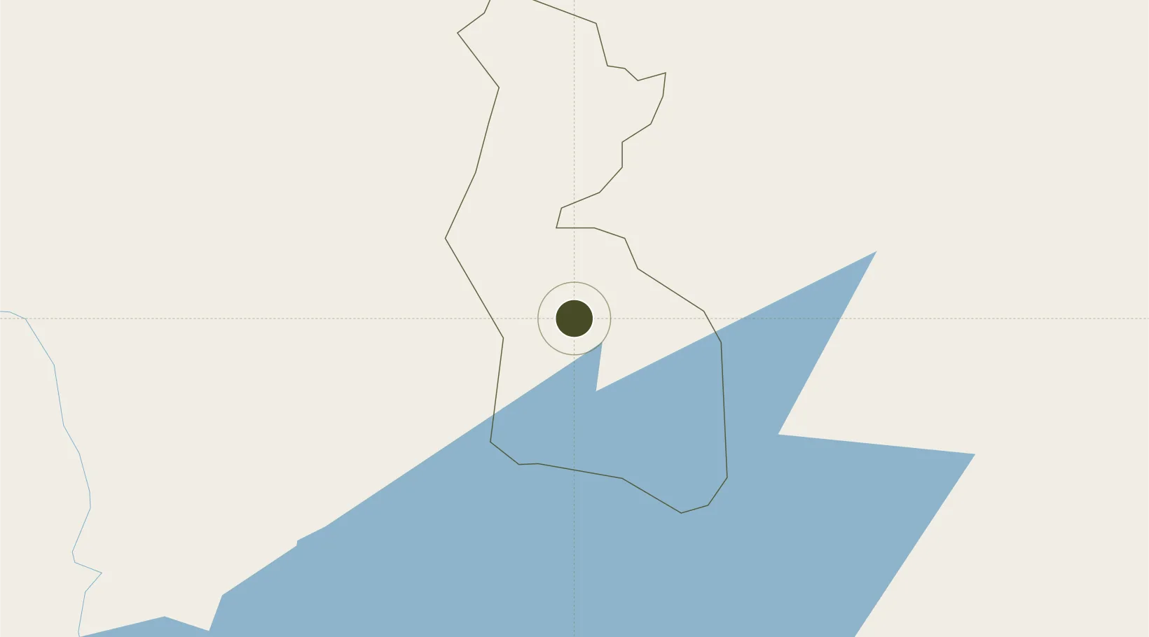
2.2495°, 32.9098°
80 ha
Zone area
1,007.0 km
Nearest port
94.1 km
Nearest airport

Gateway access

Nearest neighbours — logibook spatial index (haversine) over the source coordinates

Zone profile

Zone type
Export Processing Zone
Open Zone Map
Region
Lira
Open Zone Map
Status
Under Development
Open Zone Map
Management
Public-Private Partnership
Open Zone Map
Operator
Uganda Investment Authority
Open Zone Map
Legal framework
Free Zones Act, 2014 (No. 5 of 2014).
Open Zone Map

Location

Location of ozm-4593
Natural Earth 10m (public domain) · Lira · ozm-4593 · 2.25, 32.91GoogleOSMYandex

Nearby Logistics Neighbours

Ports
  1. 1Malindi1007 km
  2. 2Kilifi1013 km
  3. 3Lamu1020 km
  4. 4Mombasa1028 km
  5. 5Tanga1068 km
Nearest neighbours — logibook spatial index (haversine) over the source coordinates
Airports
  1. 1Gulu Airport94 km
  2. 2Soroti Airport98 km
  3. 3Arua Airport239 km
  4. 4Entebbe International Airport251 km
  5. 5Kitale Airport268 km
Nearest neighbours — logibook spatial index (haversine) over the source coordinates
Cities
  1. 1Galiraya106 km
  2. 2Moroto197 km
  3. 3Mukono212 km
  4. 4Malaba236 km
  5. 5Bungoma263 km
Nearest neighbours — logibook spatial index (haversine) over the source coordinates
Trade Zones
  1. 1Gulu Industrial Park93 km
  2. 2Soroti Industrial Park95 km
  3. 3Kaweweta Special Economic Zone139 km
  4. 4Kamuli Science Technology & Innovations Park147 km
  5. 5Luwero Industrial Park165 km
Nearest neighbours — logibook spatial index (haversine) over the source coordinates
DatabookThe Record of Consolidated Knowledge
Uganda beyond logistics?
Browse databook

All Sources

Trade ZonesOpen Zone Map
CC BY
Portsthe NGA World Port Index
Public domain (US gov)
AirportsOurAirports
Public domain
LocationsUN/LOCODE
UN/LOCODE — free
← Uganda trade zones