Transport Functions
Multimodal
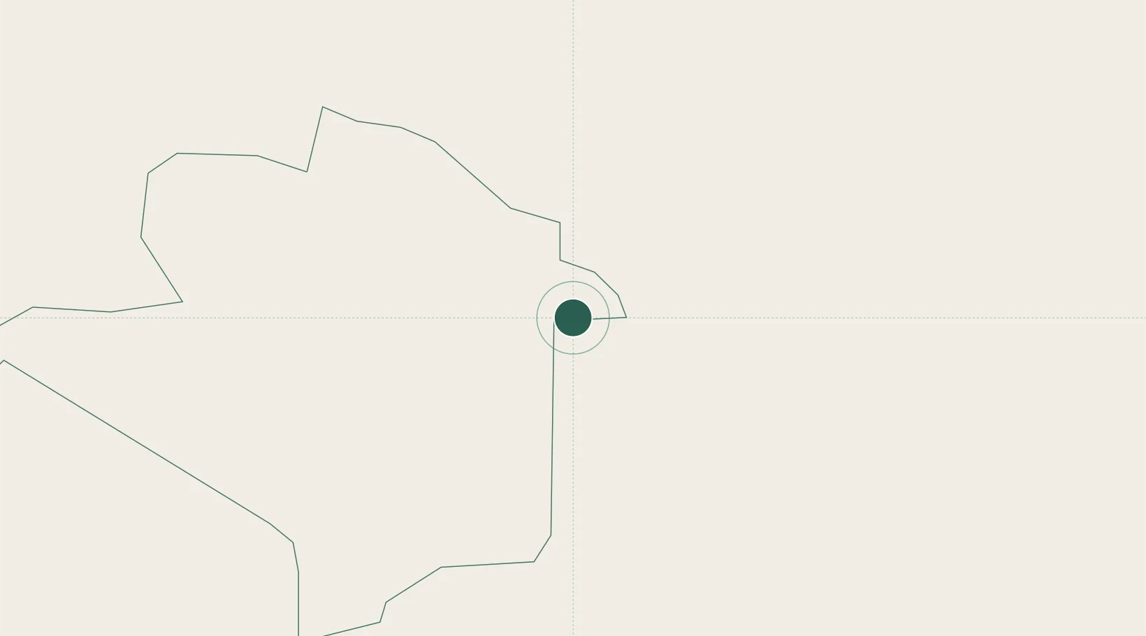
Hub Profile
Place type
Provincial seat
Region
Northern Region
Population
16,300
Time zone
Africa/Kampala
Elevation
1,393 m
Location
Nearby Logistics Neighbours
Airports
- 1Lodwar Airport126 km
- 2Soroti Airport143 km
- 3Kitale Airport171 km
- 4Lokichogio Airport195 km
- 5Eldoret International Airport240 km
Trade Zones
- 1Moroto Industrial Park6 km
- 2Soroti Industrial Park146 km
- 3Sino-Uganda Mbale Industrial Park167 km
- 4Lira Industrial Park197 km
- 5Tororo Industrial Park210 km
DatabookThe Record of Consolidated Knowledge
Uganda beyond logistics?