Medium airport · Uganda
Gulu AirportHUGU
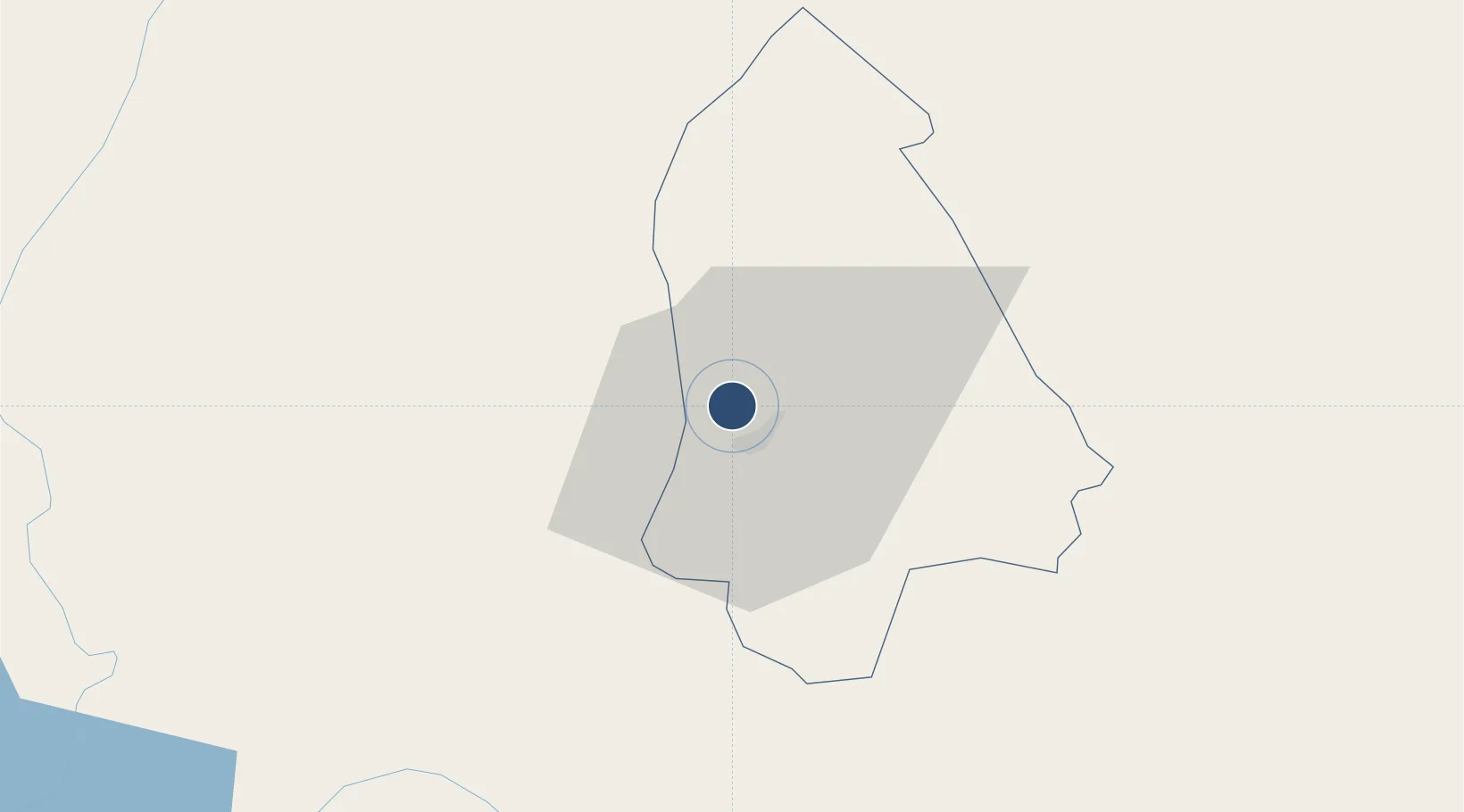
2.8056°, 32.2718°
10,314 ft
Longest runway
1
Runways
3,510 ft
Elevation
Runway & Layout

Radio Frequencies
CTAF
118.2 MHz
ADVISORY
ATC
123.7 MHz
Runways · 1
| Runway | Dimensions | Surface | True heading | Lit |
|---|---|---|---|---|
| 17/35 | 10,314 × 98ft | Asphalt | 160° | — |
Airport Specifications
IATA code
ULU
ICAO code
HUGU
Airport class
Medium airport
Scheduled service
Yes
Runway surface
Asphalt
Served city
Gulu
Location
Nearby Logistics Neighbours
Airports
- 1Arua Airport153 km
- 2Soroti Airport192 km
- 3Juba International Airport242 km
- 4Bunia Airport266 km
- 5Lokichogio Airport278 km
Trade Zones
- 1Gulu Industrial Park5 km
- 2Lira Industrial Park94 km
- 3Buliisa Industrial Park121 km
- 4Arua Special Economic Zone155 km
- 5Kaweweta Special Economic Zone174 km
DatabookThe Record of Consolidated Knowledge
Uganda beyond logistics?