Export Processing Zone · Ethiopia
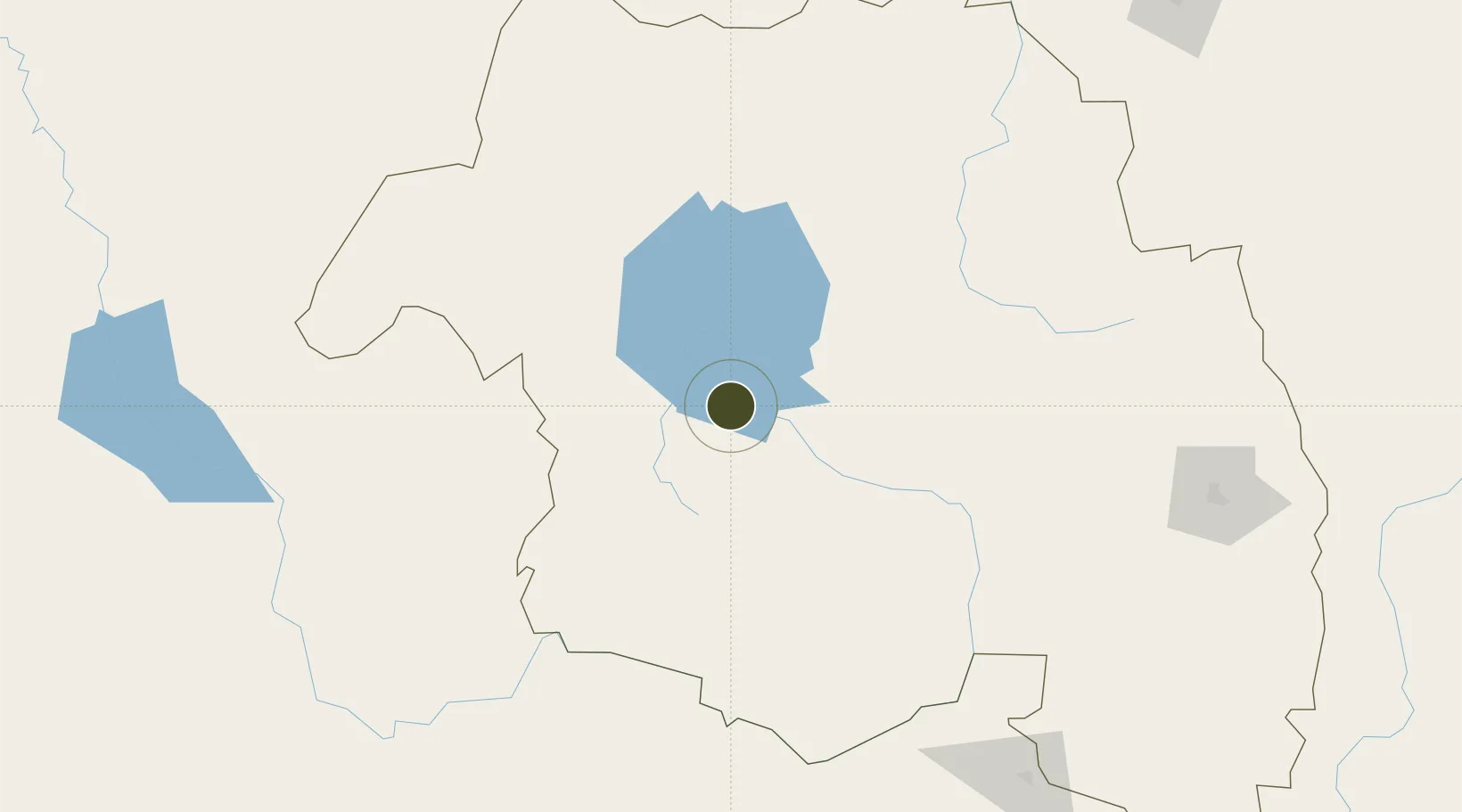
Bahir Dar Industrial Park Active
11.5572°, 37.3346°
125 ha
Zone area
506.8 km
Nearest port
5.8 km
Nearest airport
Gateway access
Zone profile
Zone type
Export Processing Zone
Region
Amhara
Status
Active
Management
Public-Private Partnership
Operator
China Civil Engineering Construction Corporation, Industrial Parks Development Corporation
Legal framework
Regulation No 417/2017 Industrial Parks Council of Ministers Regulation
Location
Nearby Logistics Neighbours
Ports
- 1Mitsiwa Harbor507 km
- 2Assab610 km
- 3Doraleh627 km
- 4Djibouti632 km
- 5Al Mukha671 km
Airports
- 1Bahir Dar Airport6 km
- 2Gondar Airport108 km
- 3Kombolcha Airport265 km
- 4Shire Inda Selassie Airport298 km
- 5Mekele Alula Aba Nega Airport320 km
Cities
- 1Mojo382 km
- 2Mojo Dry Port387 km
- 3Dubti409 km
- 4Asmara454 km
- 5Massawa (Mitsiwa)504 km
Trade Zones
- 1Gallabat Free Zone202 km
- 2Kombolcha Industrial Development Zone264 km
- 3Mekelle Industrial Park312 km
- 4DBL Industrial Park312 km
- 5Debre Berhan Industrial Park315 km
DatabookThe Record of Consolidated Knowledge
Ethiopia beyond logistics?