Medium airport · Ethiopia
Asosa AirportHASO
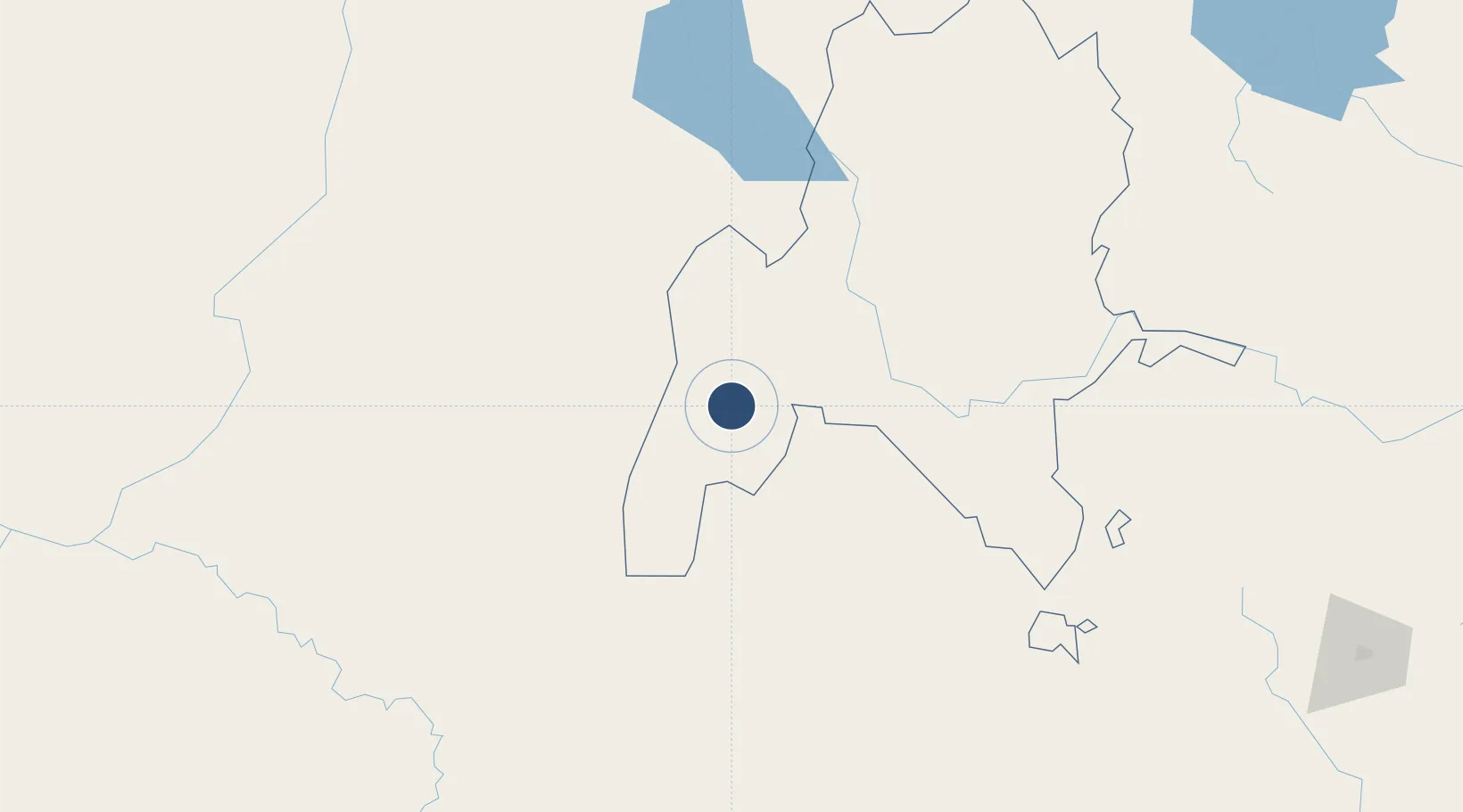
10.0185°, 34.5863°
8,218 ft
Longest runway
1
Runways
5,100 ft
Elevation
Runway & Layout

Radio Frequencies
TWR
118.5 MHz
Runways · 1
| Runway | Dimensions | Surface | True heading | Lit |
|---|---|---|---|---|
| 11/29 | 8,218 × 148ft | Asphalt | 115° | — |
Airport Specifications
IATA code
ASO
ICAO code
HASO
Airport class
Medium airport
Scheduled service
Yes
Runway surface
Asphalt
Served city
Asosa
Location
Nearby Logistics Neighbours
Airports
- 1Dembidollo Airport166 km
- 2Gambela Airport210 km
- 3Paloich Airport235 km
- 4Malakal International Airport326 km
- 5Tippi Airport326 km
Cities
- 1Rabak403 km
- 2Mojo522 km
- 3Mojo Dry Port524 km
- 4Dubti735 km
- 5Asmara756 km
Ports
- 1Mitsiwa Harbor817 km
- 2Doraleh945 km
- 3Assab949 km
- 4Djibouti950 km
- 5Al Mukha1012 km
Trade Zones
- 1Mokhalif Free Zone335 km
- 2Al-Jabayn Free Zone345 km
- 3Bahir Dar Industrial Park346 km
- 4Jimma Industrial Park360 km
- 5Gallabat Free Zone369 km
DatabookThe Record of Consolidated Knowledge
Ethiopia beyond logistics?