UN/LOCODE hub · Ethiopia
ETMDP

Mojo Dry Port

8.5667°, 39.1333°
1
Transport functions

Transport Functions

Multimodal
UN/LOCODE

Hub Profile

Region
OR
GeoNames

Location

Location of ETMDP
Natural Earth 10m (public domain) · OR · ETMDP · 8.57, 39.13GoogleOSMYandex

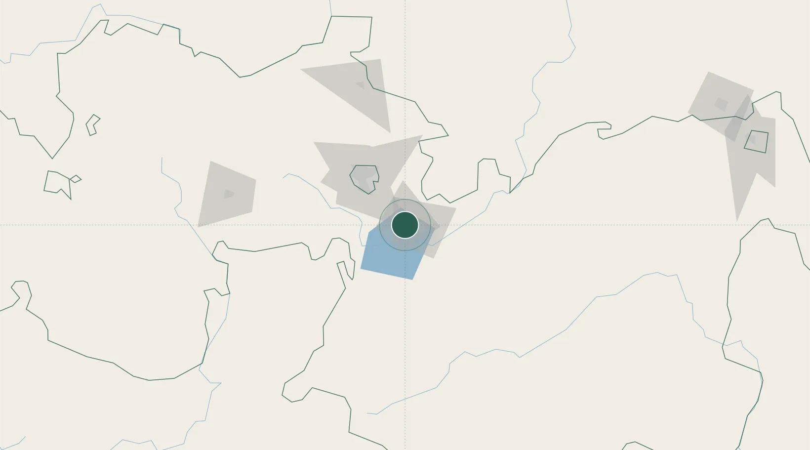
Nearby Logistics Neighbours

Cities
  1. 1Mojo4 km
  2. 2Kembolcha255 km
  3. 3Dubti412 km
  4. 4Camp Lemonier548 km
  5. 5Djibouti549 km
Nearest neighbours — logibook spatial index (haversine) over the source coordinates
Ports
  1. 1Doraleh549 km
  2. 2Djibouti553 km
  3. 3Assab632 km
  4. 4Berbera678 km
  5. 5Al Mukha693 km
Nearest neighbours — logibook spatial index (haversine) over the source coordinates
Airports
  1. 1Harar Meda Airport22 km
  2. 2Addis Ababa Bole International Airport59 km
  3. 3Hawassa International Airport182 km
  4. 4Jimma Airport274 km
  5. 5Kombolcha Airport290 km
Nearest neighbours — logibook spatial index (haversine) over the source coordinates
Trade Zones
  1. 1George Shoe Industrial Park5 km
  2. 2Adama Special Economic Zone13 km
  3. 3Adama Industrial Park20 km
  4. 4Eastern Industrial Zone Industrial Development Zone - Dukem33 km
  5. 5Eastern Industrial Park39 km
Nearest neighbours — logibook spatial index (haversine) over the source coordinates
DatabookThe Record of Consolidated Knowledge
Ethiopia beyond logistics?
Browse databook

All Sources

LocationsUN/LOCODE
UN/LOCODE — free
Portsthe NGA World Port Index
Public domain (US gov)
AirportsOurAirports
Public domain
Trade Zonesthe World Bank SEZ database
CC BY 4.0
Trade ZonesOpen Zone Map
CC BY
← Ethiopia locations