UN/LOCODE hub · South Korea
KRSSN

Sungnam (Seoul Ab)

37.5000°, 126.9333°
3
Transport functions

Transport Functions

Rail
Road
Airport
UN/LOCODE

Hub Profile

Region
41
GeoNames

Location

Location of KRSSN
Natural Earth 10m (public domain) · 41 · KRSSN · 37.50, 126.93GoogleOSMYandex

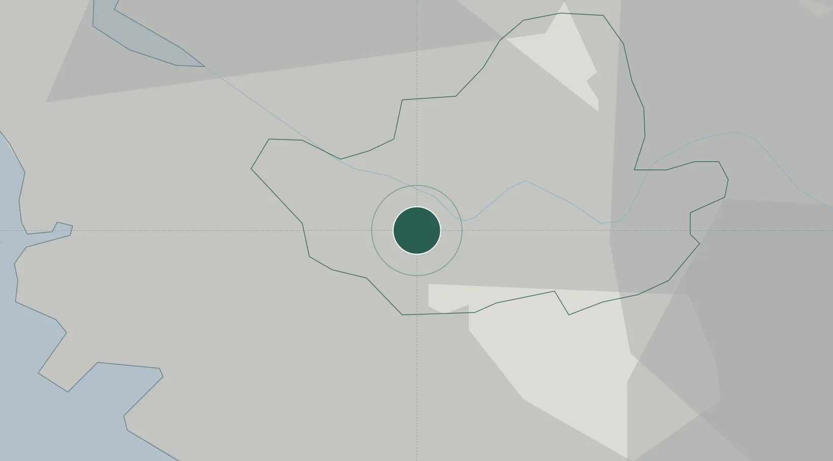
Nearby Logistics Neighbours

Cities
  1. 1Gwangmyeong8 km
  2. 2Gwacheon10 km
  3. 3Anyang13 km
  4. 4Seoul14 km
  5. 5Kunpo15 km
Nearest neighbours — logibook spatial index (haversine) over the source coordinates
Ports
  1. 1Inchon28 km
  2. 2Pyeongtaek Hang57 km
  3. 3Daesan Hang72 km
  4. 4Haeju Hang122 km
  5. 5Sokch'o Hang166 km
Nearest neighbours — logibook spatial index (haversine) over the source coordinates
Airports
  1. 1Gimpo International Airport14 km
  2. 2Seoul Air Base (K-16)17 km
  3. 3Suwon Airport30 km
  4. 4Incheon International Airport43 km
  5. 5Osan Air Base46 km
Nearest neighbours — logibook spatial index (haversine) over the source coordinates
DatabookThe Record of Consolidated Knowledge
South Korea beyond logistics?
Browse databook

All Sources

LocationsUN/LOCODE
UN/LOCODE — free
Portsthe NGA World Port Index
Public domain (US gov)
AirportsOurAirports
Public domain
Trade Zonesthe World Bank SEZ database
CC BY 4.0
Trade ZonesOpen Zone Map
CC BY
← South Korea locations