Transport Functions
Road
Multimodal
Hub Profile
Place type
Populated place
Region
Gauteng
Time zone
Africa/Johannesburg
Elevation
1,721 m
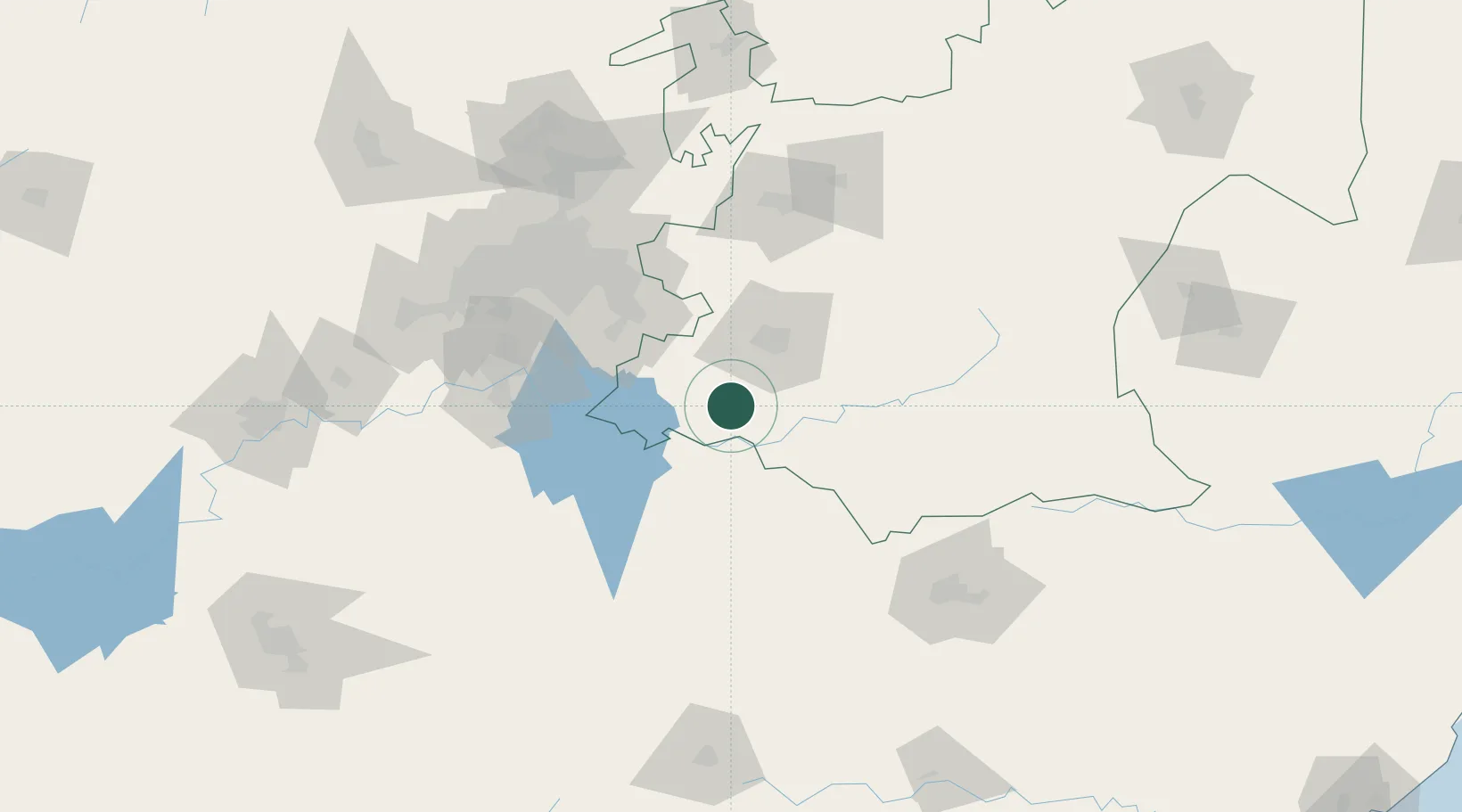
Location
Nearby Logistics Neighbours
Cities
- 1Strubenvale52 km
- 2Nigel68 km
- 3Kriel71 km
- 4Johannesburg93 km
- 5Randvaal98 km
Ports
- 1Maputo371 km
- 2Richards Bay379 km
- 3Durban394 km
- 4East London695 km
- 5Inhambane725 km
Airports
- 1Secunda Airport42 km
- 2Vereeniging Airport103 km
- 3Rand Airport104 km
- 4O.R. Tambo International Airport106 km
- 5Ermelo Airport110 km
Trade Zones
DatabookThe Record of Consolidated Knowledge
South Africa beyond logistics?