Free Trade Zone · South Africa

Musina Makhado (South African Energy Metallurgical) Special Economic Zone Under Development
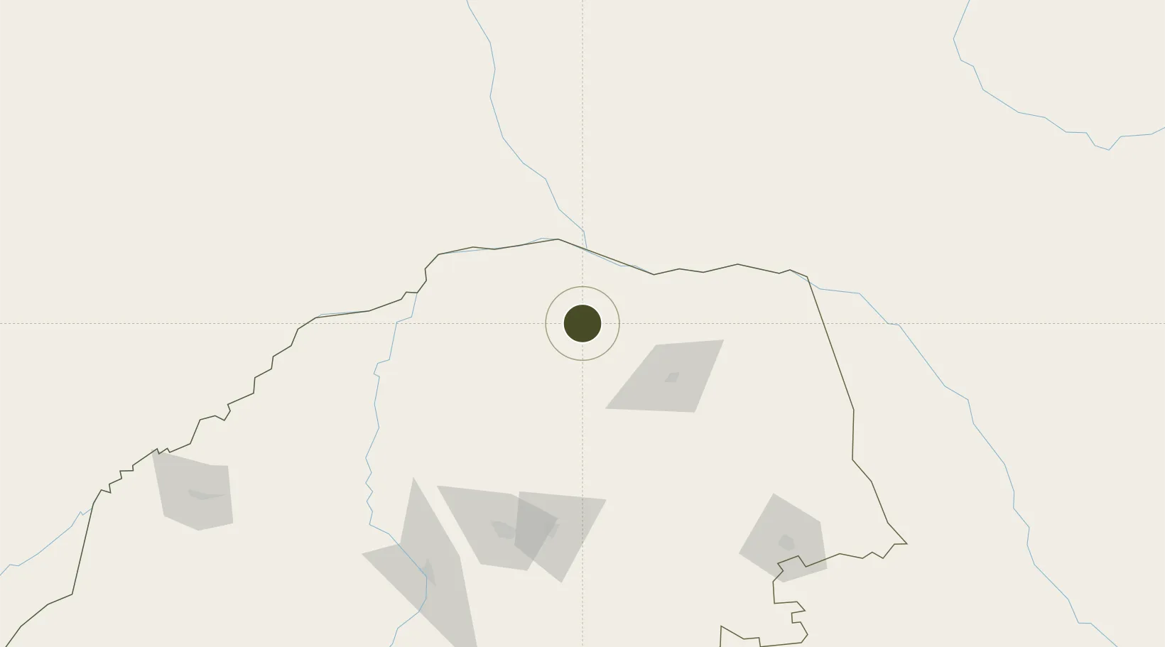
-22.6383°, 29.9062°
20 ha
Zone area
456.2 km
Nearest port
138.8 km
Nearest airport

Gateway access

Nearest neighbours — logibook spatial index (haversine) over the source coordinates

Zone profile

Zone type
Free Trade Zone
Open Zone Map
Region
Limpopo
Open Zone Map
Status
Under Development
Open Zone Map
Management
Private
Open Zone Map
Operator
Musina-Makhado Special Economic Zone SOC
Open Zone Map
Legal framework
Special Economic Zones Act No.16 of 2014
Open Zone Map

Location

Location of ozm-4162
Natural Earth 10m (public domain) · Limpopo · ozm-4162 · -22.64, 29.91GoogleOSMYandex

Nearby Logistics Neighbours

Ports
  1. 1Maputo456 km
  2. 2Inhambane579 km
  3. 3Beira598 km
  4. 4Richards Bay721 km
  5. 5Durban812 km
Nearest neighbours — logibook spatial index (haversine) over the source coordinates
Airports
  1. 1Tzaneen Airport139 km
  2. 2Polokwane International Airport142 km
  3. 3Pietersburg Municipal Airport150 km
  4. 4Hendrik Van Eck Airport193 km
  5. 5Selebi Phikwe Airport223 km
Nearest neighbours — logibook spatial index (haversine) over the source coordinates
Cities
  1. 1Messina33 km
  2. 2Blouberg109 km
  3. 3Letsitele147 km
  4. 4Jupiter163 km
  5. 5Potgietersrus193 km
Nearest neighbours — logibook spatial index (haversine) over the source coordinates
Trade Zones
  1. 1Beitbridge Special Economic Zone47 km
  2. 2Tuli Block Tourism Zone110 km
  3. 3Seshego Industrial Park143 km
  4. 4Selebi Phikwe Special Economic Zone228 km
  5. 5Tubatse Special Economic Zone242 km
Nearest neighbours — logibook spatial index (haversine) over the source coordinates
DatabookThe Record of Consolidated Knowledge
South Africa beyond logistics?
Browse databook

All Sources

Trade ZonesOpen Zone Map
CC BY
Portsthe NGA World Port Index
Public domain (US gov)
AirportsOurAirports
Public domain
LocationsUN/LOCODE
UN/LOCODE — free
← South Africa trade zones