Medium airport · South Africa
Tzaneen AirportFATZ
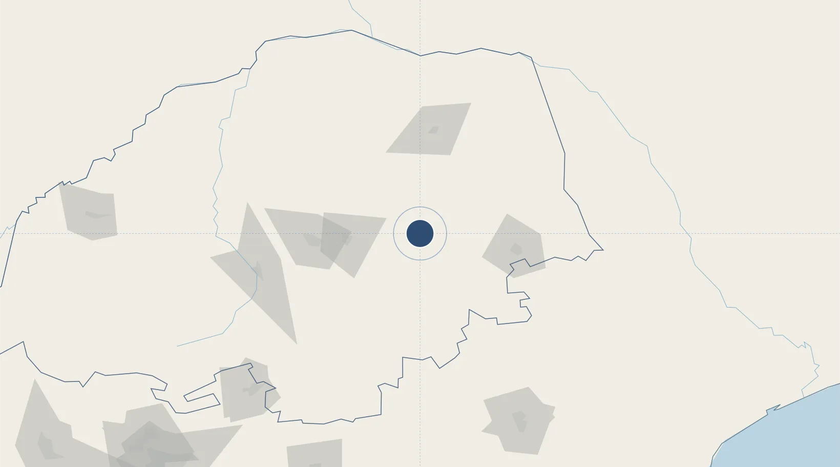
-23.8244°, 30.3293°
4,659 ft
Longest runway
1
Runways
1,914 ft
Elevation
Runway & Layout

Radio Frequencies
CTAF
124.8 MHz
Navaids
TZ NDB Tzaneen 213 kHz
Runways · 1
| Runway | Dimensions | Surface | True heading | Lit |
|---|---|---|---|---|
| 06/24 | 4,659 × 66ft | Asphalt | 049° | ✓ |
Airport Specifications
IATA code
LTA
ICAO code
FATZ
Airport class
Medium airport
Scheduled service
No
Runway surface
Asphalt
Served city
Tzaneen
Location
Nearby Logistics Neighbours
Airports
Cities
- 1Letsitele10 km
- 2Sunningdale120 km
- 3Jupiter132 km
- 4Potgietersrus139 km
- 5Kiepersol155 km
Ports
- 1Maputo326 km
- 2Inhambane516 km
- 3Richards Bay582 km
- 4Beira643 km
- 5Durban676 km
Trade Zones
DatabookThe Record of Consolidated Knowledge
South Africa beyond logistics?