Export Processing Zone · Zimbabwe

Beitbridge Special Economic Zone Active
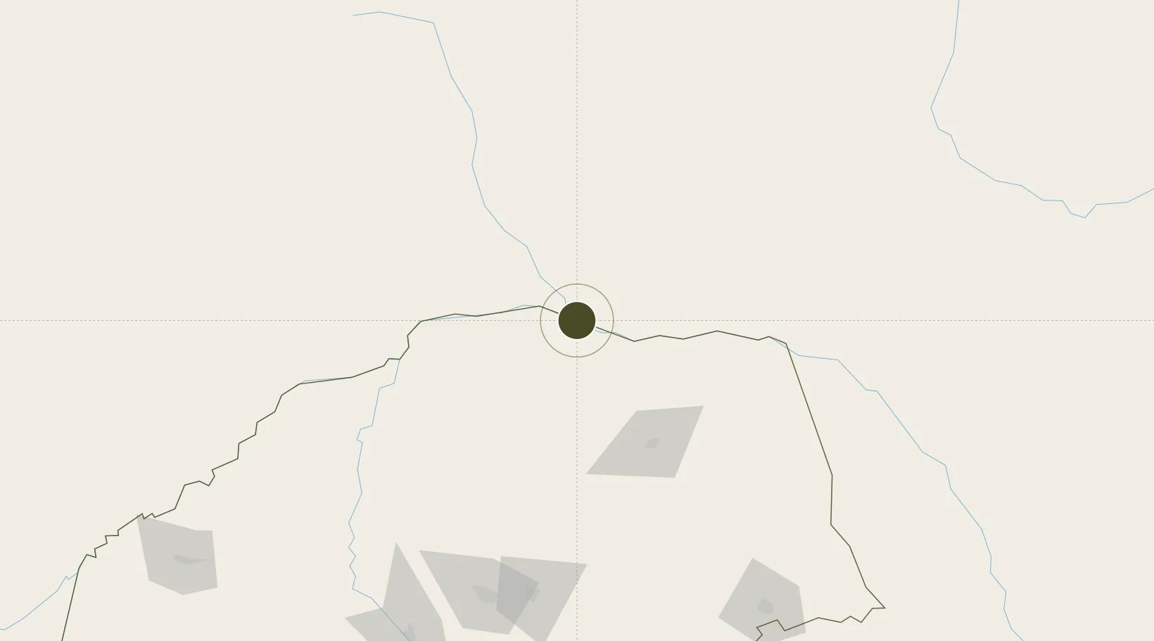
-22.2187°, 29.9879°
248 ha
Zone area
490.6 km
Nearest port
181.9 km
Nearest airport

Gateway access

Nearest neighbours — logibook spatial index (haversine) over the source coordinates

Zone profile

Zone type
Export Processing Zone
Open Zone Map
Region
Limpopo
Open Zone Map
Status
Active
Open Zone Map
Management
Public-Private Partnership
Open Zone Map
Operator
Industrial Development Corporation of Zimbabwe Limited (IDCZ)
Open Zone Map
Legal framework
Zimbabwe Investment and Development Agency Act
Open Zone Map

Location

Location of ozm-5222
Natural Earth 10m (public domain) · Limpopo · ozm-5222 · -22.22, 29.99GoogleOSMYandex

Nearby Logistics Neighbours

Ports
  1. 1Maputo491 km
  2. 2Beira569 km
  3. 3Inhambane585 km
  4. 4Richards Bay763 km
  5. 5Chinde791 km
Nearest neighbours — logibook spatial index (haversine) over the source coordinates
Airports
  1. 1Tzaneen Airport182 km
  2. 2Polokwane International Airport189 km
  3. 3Pietersburg Municipal Airport197 km
  4. 4Buffalo Range Airport213 km
  5. 5Selebi Phikwe Airport223 km
Nearest neighbours — logibook spatial index (haversine) over the source coordinates
Cities
  1. 1Messina16 km
  2. 2Blouberg144 km
  3. 3Gwanda176 km
  4. 4Letsitele190 km
  5. 5Filabusi201 km
Nearest neighbours — logibook spatial index (haversine) over the source coordinates
DatabookThe Record of Consolidated Knowledge
Zimbabwe beyond logistics?
Browse databook

All Sources

Trade ZonesOpen Zone Map
CC BY
Portsthe NGA World Port Index
Public domain (US gov)
AirportsOurAirports
Public domain
LocationsUN/LOCODE
UN/LOCODE — free
← Zimbabwe trade zones