Transport Functions
Multimodal
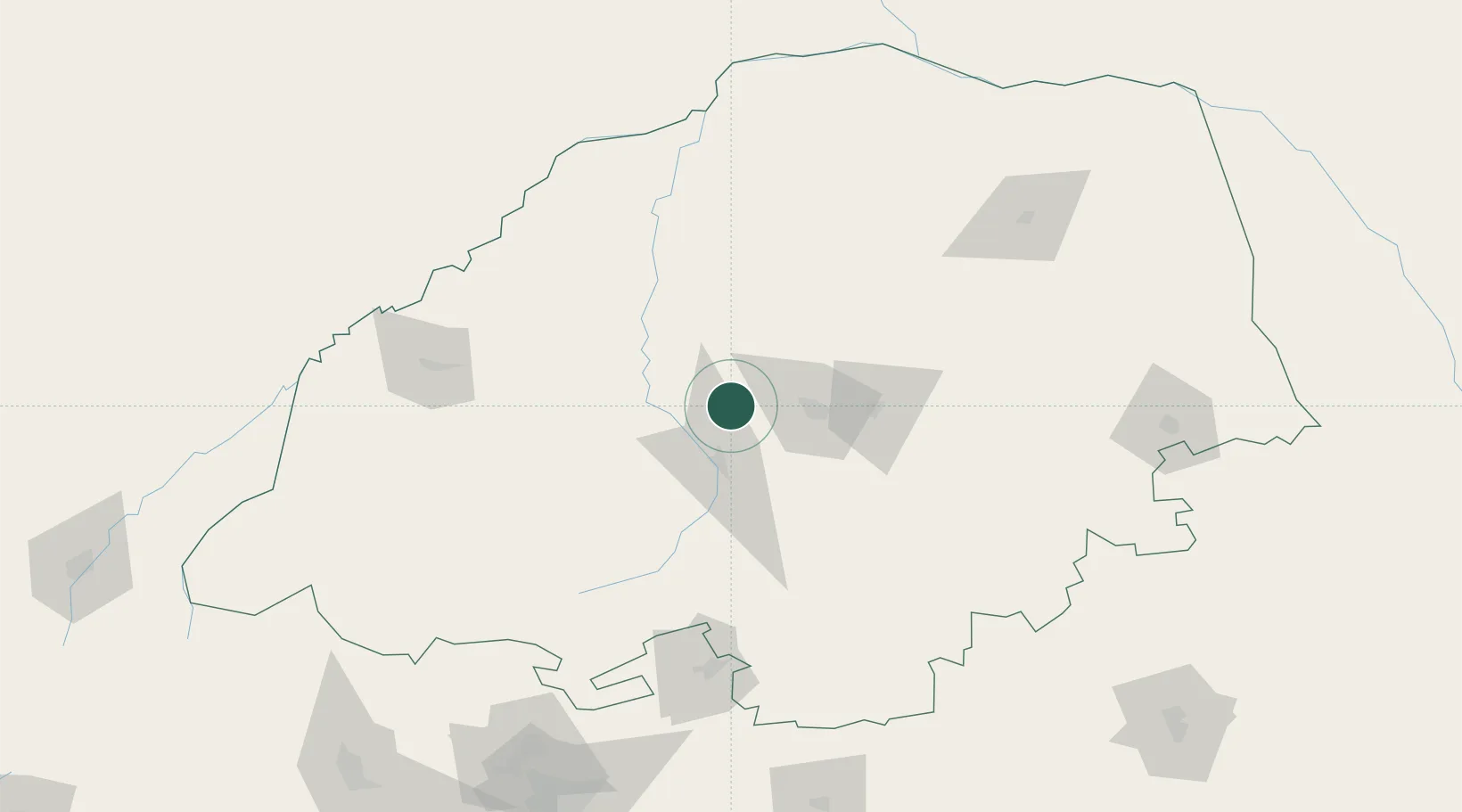
Hub Profile
Place type
Populated place
Region
Limpopo
Time zone
Africa/Johannesburg
Elevation
1,301 m
Location
Nearby Logistics Neighbours
Cities
- 1Potgietersrus33 km
- 2Sunningdale58 km
- 3Mookgophong79 km
- 4Naboomspruit79 km
- 5Blouberg84 km
Ports
- 1Maputo424 km
- 2Richards Bay629 km
- 3Inhambane647 km
- 4Durban697 km
- 5Beira748 km
Airports
DatabookThe Record of Consolidated Knowledge
South Africa beyond logistics?