Export Processing Zone · South Africa

Seshego Industrial Park Active
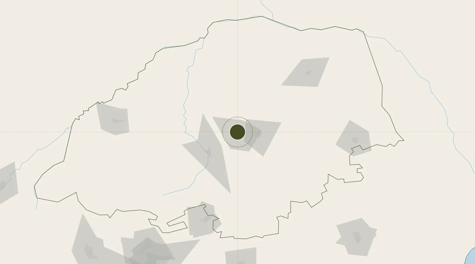
-23.8368°, 29.4010°
100 ha
Zone area
395.5 km
Nearest port
5.9 km
Nearest airport

Gateway access

Nearest neighbours — logibook spatial index (haversine) over the source coordinates

Zone profile

Zone type
Export Processing Zone
Open Zone Map
Region
Limpopo
Open Zone Map
Status
Active
Open Zone Map
Management
Public
Open Zone Map
Operator
Limpopo Economic Development Agency
Open Zone Map
Legal framework
Special Economic Zones Act No.16 of 2014
Open Zone Map

Location

Location of ozm-4151
Natural Earth 10m (public domain) · Limpopo · ozm-4151 · -23.84, 29.40GoogleOSMYandex

Nearby Logistics Neighbours

Ports
  1. 1Maputo396 km
  2. 2Inhambane610 km
  3. 3Richards Bay615 km
  4. 4Durban691 km
  5. 5Beira716 km
Nearest neighbours — logibook spatial index (haversine) over the source coordinates
Airports
  1. 1Polokwane International Airport6 km
  2. 2Pietersburg Municipal Airport13 km
  3. 3Tzaneen Airport94 km
  4. 4Eastgate Airport / Air Force Base Hoedspruit178 km
  5. 5Hendrik Van Eck Airport179 km
Nearest neighbours — logibook spatial index (haversine) over the source coordinates
Cities
  1. 1Jupiter38 km
  2. 2Potgietersrus54 km
  3. 3Sunningdale57 km
  4. 4Blouberg91 km
  5. 5Letsitele102 km
Nearest neighbours — logibook spatial index (haversine) over the source coordinates
Trade Zones
  1. 1Tubatse Special Economic Zone130 km
  2. 2Musina Makhado (South African Energy Metallurgical) Special Economic Zone143 km
  3. 3Beitbridge Special Economic Zone190 km
  4. 4Babelegi Industrial Park204 km
  5. 5Tuli Block Tourism Zone207 km
Nearest neighbours — logibook spatial index (haversine) over the source coordinates
DatabookThe Record of Consolidated Knowledge
South Africa beyond logistics?
Browse databook

All Sources

Trade ZonesOpen Zone Map
CC BY
Portsthe NGA World Port Index
Public domain (US gov)
AirportsOurAirports
Public domain
LocationsUN/LOCODE
UN/LOCODE — free
← South Africa trade zones