Transport Functions
Multimodal
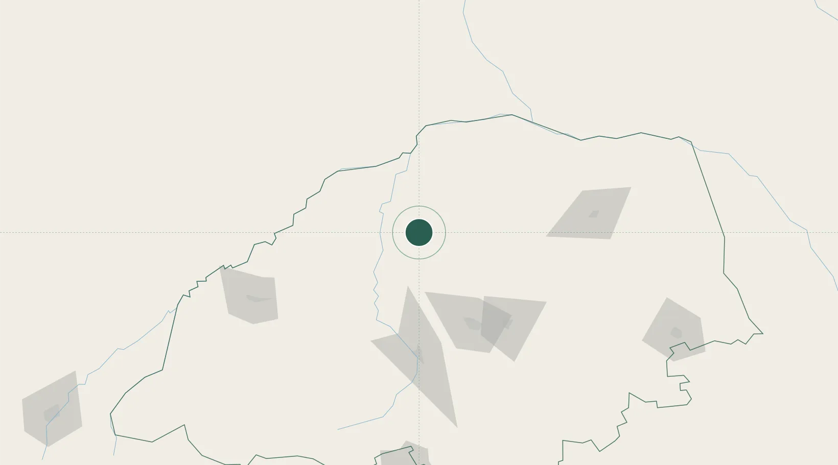
Hub Profile
Place type
Populated place
Region
Limpopo
Time zone
Africa/Johannesburg
Elevation
973 m
Location
Nearby Logistics Neighbours
Cities
- 1Jupiter84 km
- 2Potgietersrus117 km
- 3Messina136 km
- 4Sunningdale139 km
- 5Mookgophong158 km
Ports
- 1Maputo480 km
- 2Inhambane660 km
- 3Richards Bay705 km
- 4Beira707 km
- 5Durban779 km
Airports
- 1Polokwane International Airport94 km
- 2Pietersburg Municipal Airport104 km
- 3Tzaneen Airport158 km
- 4Selebi Phikwe Airport167 km
- 5Hendrik Van Eck Airport240 km
DatabookThe Record of Consolidated Knowledge
South Africa beyond logistics?