Export Processing Zone · South Africa

Tubatse Special Economic Zone Under Development
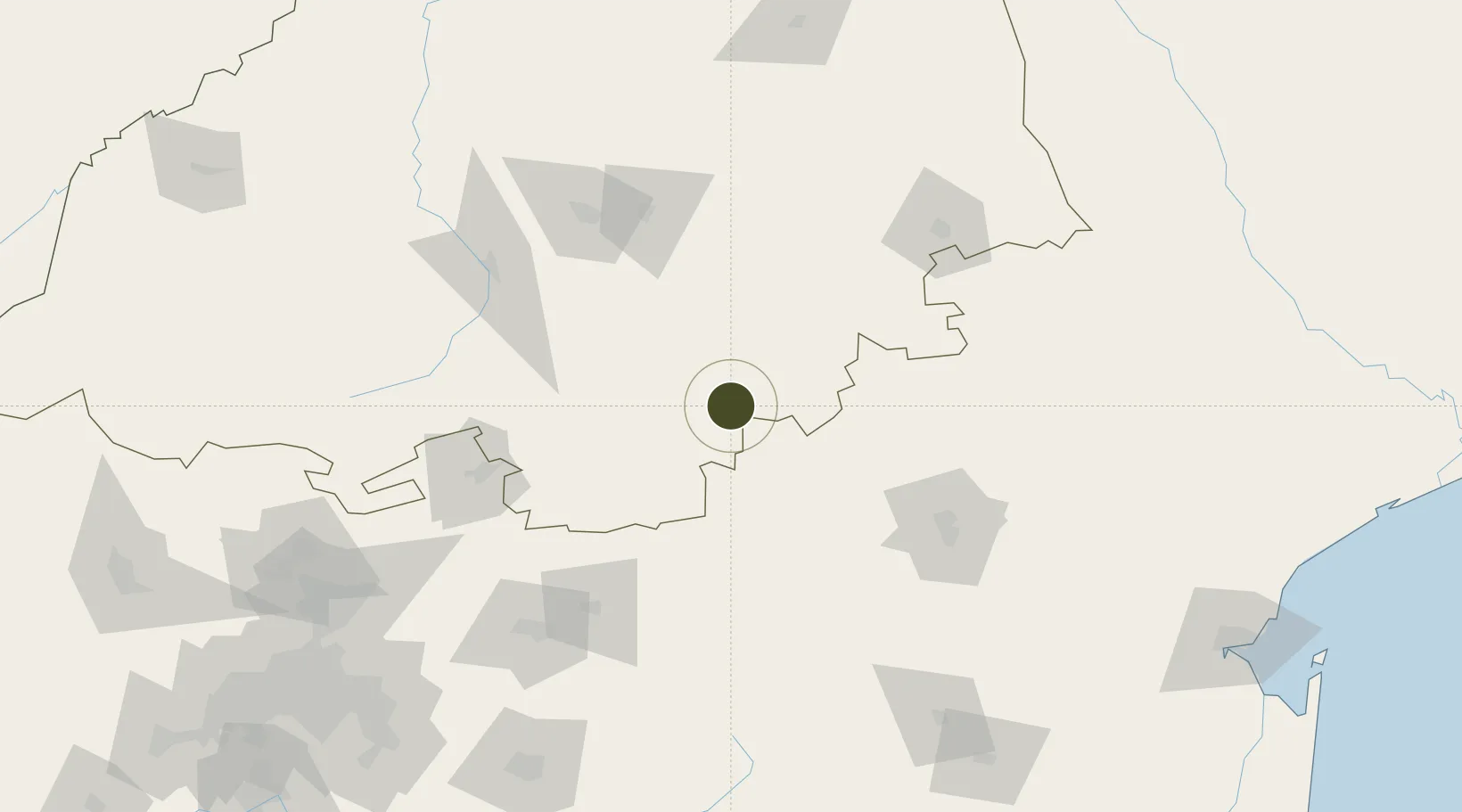
-24.8050°, 30.1277°
345 ha
Zone area
274.8 km
Nearest port
105.7 km
Nearest airport

Gateway access

Nearest neighbours — logibook spatial index (haversine) over the source coordinates

Zone profile

Zone type
Export Processing Zone
Open Zone Map
Region
Limpopo
Open Zone Map
Status
Under Development
Open Zone Map
Management
Public
Open Zone Map
Operator
Limpopo Economic Development Agency
Open Zone Map
Legal framework
Special Economic Zones Act No.16 of 2014
Open Zone Map

Location

Location of ozm-4155
Natural Earth 10m (public domain) · Limpopo · ozm-4155 · -24.80, 30.13GoogleOSMYandex

Nearby Logistics Neighbours

Ports
  1. 1Maputo275 km
  2. 2Richards Bay486 km
  3. 3Inhambane543 km
  4. 4Durban570 km
  5. 5Beira735 km
Nearest neighbours — logibook spatial index (haversine) over the source coordinates
Airports
  1. 1Eastgate Airport / Air Force Base Hoedspruit106 km
  2. 2Tzaneen Airport111 km
  3. 3Pietersburg Municipal Airport118 km
  4. 4Kruger Mpumalanga International Airport118 km
  5. 5Polokwane International Airport126 km
Nearest neighbours — logibook spatial index (haversine) over the source coordinates
Cities
  1. 1Groblersdal84 km
  2. 2Marble Hall85 km
  3. 3Kiepersol96 km
  4. 4Sunningdale100 km
  5. 5Letsitele106 km
Nearest neighbours — logibook spatial index (haversine) over the source coordinates
Trade Zones
  1. 1Seshego Industrial Park130 km
  2. 2Nkomazi Special Economic Zone196 km
  3. 3Babelegi Industrial Park196 km
  4. 4Tshwane Automotive Industrial Zone209 km
  5. 5Royal Science & Technology Biotech Park223 km
Nearest neighbours — logibook spatial index (haversine) over the source coordinates
DatabookThe Record of Consolidated Knowledge
South Africa beyond logistics?
Browse databook

All Sources

Trade ZonesOpen Zone Map
CC BY
Portsthe NGA World Port Index
Public domain (US gov)
AirportsOurAirports
Public domain
LocationsUN/LOCODE
UN/LOCODE — free
← South Africa trade zones