Medium airport · South Africa

Pietersburg Municipal AirportFAPI
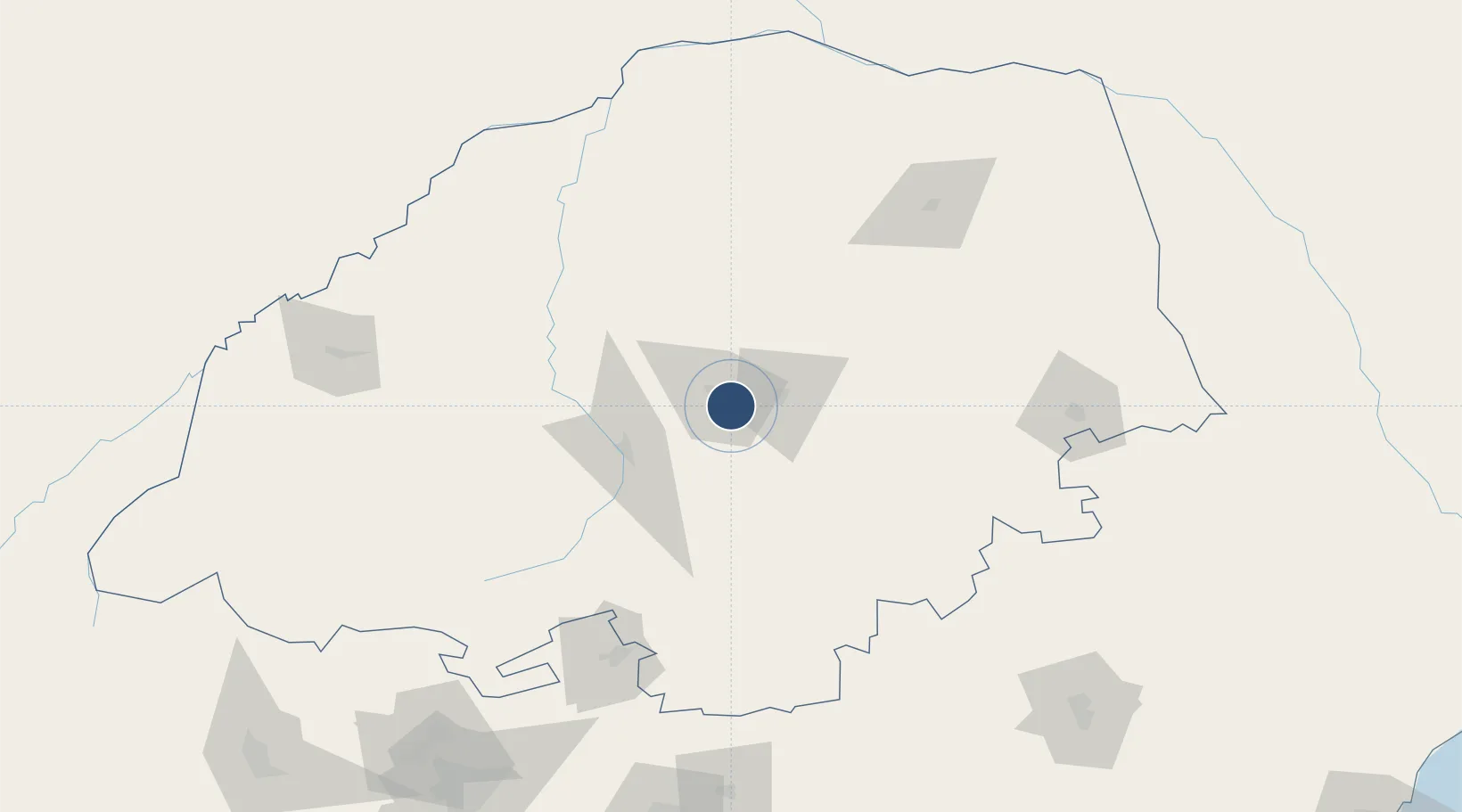
-23.9261°, 29.4844°
7,218 ft
Longest runway
1
Runways
4,354 ft
Elevation

Runway & Layout

Pietersburg Municipal Airport runway & taxiway layout
Runway & taxiway layout — OpenStreetMap (ODbL) / OurAirports

Radio Frequencies

CTAF
122.7 MHz
OurAirports

Navaids

PI NDB Pietersburg 425 kHz
OurAirports

Runways · 1

RunwayDimensions SurfaceTrue headingLit
08/26 7,218 × 82ft Asphalt 061°
OurAirports

Airport Specifications

ICAO code
FAPI
OurAirports
Airport class
Medium airport
OurAirports
Scheduled service
Yes
OurAirports
Runway surface
Asphalt
OurAirports
Served city
Polokwane
OurAirports

Location

Location of FAPI
Natural Earth 10m (public domain) · Limpopo · FAPI · -23.93, 29.48GoogleOSMYandex

Nearby Logistics Neighbours

Airports
  1. 1Polokwane International Airport9 km
  2. 2Tzaneen Airport87 km
  3. 3Eastgate Airport / Air Force Base Hoedspruit166 km
  4. 4Hendrik Van Eck Airport170 km
  5. 5Kruger Mpumalanga International Airport230 km
Nearest neighbours — logibook spatial index (haversine) over the source coordinates
Cities
  1. 1Jupiter46 km
  2. 2Sunningdale50 km
  3. 3Potgietersrus55 km
  4. 4Letsitele93 km
  5. 5Mookgophong102 km
Nearest neighbours — logibook spatial index (haversine) over the source coordinates
Ports
  1. 1Maputo383 km
  2. 2Inhambane601 km
  3. 3Richards Bay602 km
  4. 4Durban679 km
  5. 5Beira715 km
Nearest neighbours — logibook spatial index (haversine) over the source coordinates
Trade Zones
  1. 1Seshego Industrial Park13 km
  2. 2Tubatse Special Economic Zone118 km
  3. 3Musina Makhado (South African Energy Metallurgical) Special Economic Zone150 km
  4. 4Beitbridge Special Economic Zone197 km
  5. 5Babelegi Industrial Park200 km
Nearest neighbours — logibook spatial index (haversine) over the source coordinates
DatabookThe Record of Consolidated Knowledge
South Africa beyond logistics?
Browse databook

All Sources

AirportsOurAirports
Public domain
Portsthe NGA World Port Index
Public domain (US gov)
LocationsUN/LOCODE
UN/LOCODE — free
Trade Zonesthe World Bank SEZ database
CC BY 4.0
Trade ZonesOpen Zone Map
CC BY
InfrastructureOpenStreetMap
ODbL 1.0
← South Africa airports