Transport Functions
Rail
Road
Airport
Hub Profile
Logistics facilities
1
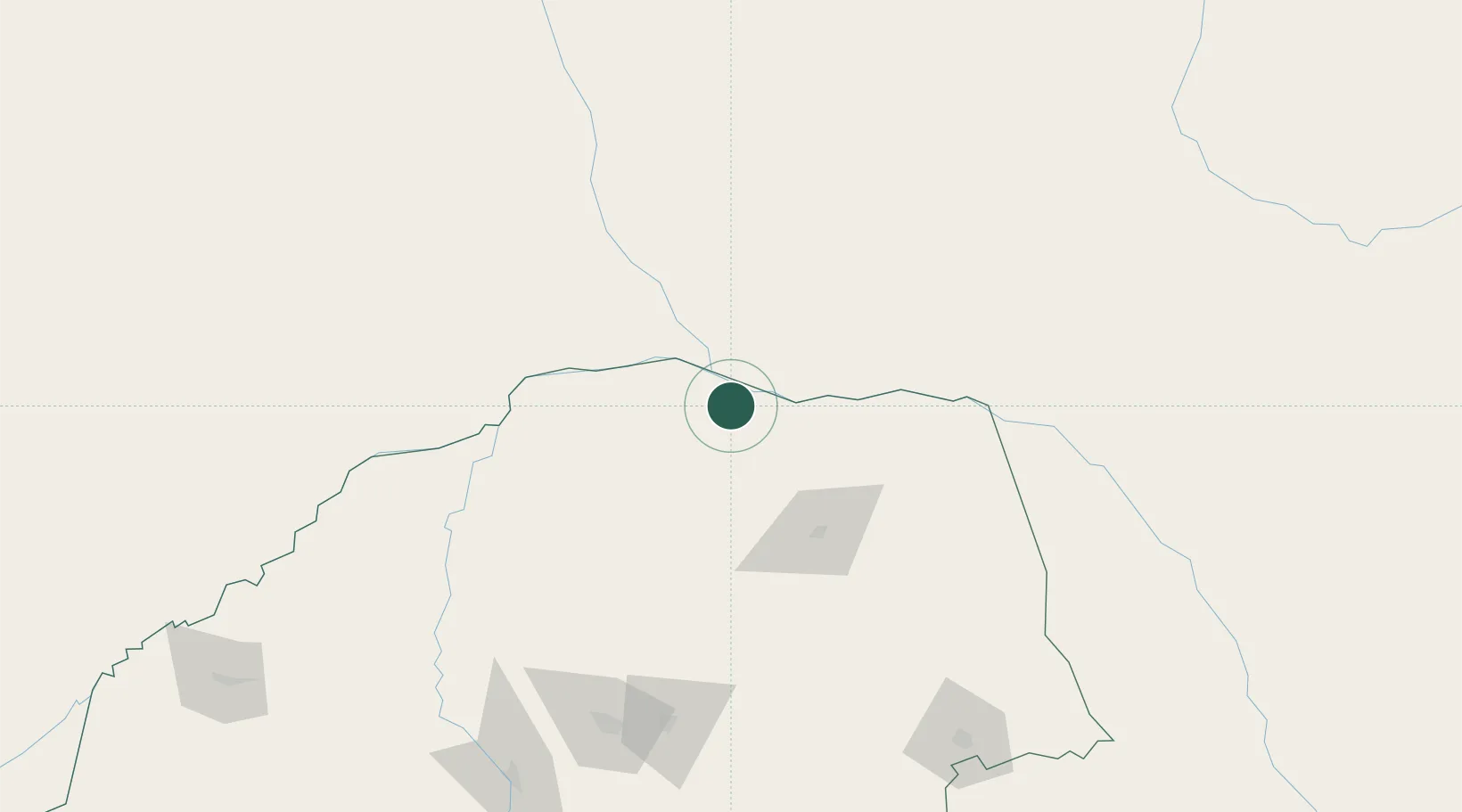
Location
Nearby Logistics Neighbours
Ports
- 1Maputo475 km
- 2Beira573 km
- 3Inhambane576 km
- 4Richards Bay747 km
- 5Chinde796 km
Airports
- 1Tzaneen Airport166 km
- 2Polokwane International Airport175 km
- 3Pietersburg Municipal Airport183 km
- 4Hendrik Van Eck Airport210 km
- 5Buffalo Range Airport220 km
DatabookThe Record of Consolidated Knowledge
South Africa beyond logistics?