Economic Revitalization Project · Botswana

Selebi Phikwe Special Economic Zone Active
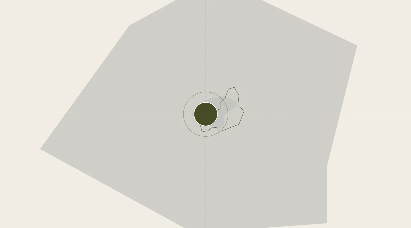
-21.9668°, 27.8174°
1,100 ha
Zone area
654.2 km
Nearest port
10.2 km
Nearest airport

Gateway access

Nearest neighbours — logibook spatial index (haversine) over the source coordinates

Zone profile

Zone type
Economic Revitalization Project
Open Zone Map
Region
Selebi-Phikwe
Open Zone Map
Status
Active
Open Zone Map
Management
Public
Open Zone Map
Operator
Special Economic Zones Authority
Open Zone Map
Legal framework
Special Economic Zones Act (Act 13, 2015)
Open Zone Map

Location

Location of ozm-202
Natural Earth 10m (public domain) · Selebi-Phikwe · ozm-202 · -21.97, 27.82GoogleOSMYandex

Nearby Logistics Neighbours

Ports
  1. 1Maputo654 km
  2. 2Beira766 km
  3. 3Inhambane806 km
  4. 4Richards Bay874 km
  5. 5Durban937 km
Nearest neighbours — logibook spatial index (haversine) over the source coordinates
Airports
  1. 1Selebi Phikwe Airport10 km
  2. 2Phillip Gaonwe Matante International Airport97 km
  3. 3Joshua Mqabuko Nkomo International Airport232 km
  4. 4Sua Pan Airport236 km
  5. 5Polokwane International Airport268 km
Nearest neighbours — logibook spatial index (haversine) over the source coordinates
Cities
  1. 1Francistown94 km
  2. 2Palapye97 km
  3. 3Mahalapye162 km
  4. 4Gwanda168 km
  5. 5Blouberg175 km
Nearest neighbours — logibook spatial index (haversine) over the source coordinates
DatabookThe Record of Consolidated Knowledge
Botswana beyond logistics?
Browse databook

All Sources

Trade ZonesOpen Zone Map
CC BY
Portsthe NGA World Port Index
Public domain (US gov)
AirportsOurAirports
Public domain
LocationsUN/LOCODE
UN/LOCODE — free
← Botswana trade zones