Medium airport · South Africa
Hendrik Van Eck AirportFAPH
-23.9372°, 31.1554°
4,491 ft
Longest runway
1
Runways
1,432 ft
Elevation
Runway & Layout

Radio Frequencies
CTAF
124.8 MHz
Navaids
PHV VOR Phalaborwa 115.30 MHz
PW NDB Phalaborwa 272 kHz
Runways · 1
| Runway | Dimensions | Surface | True heading | Lit |
|---|---|---|---|---|
| 01/19 | 4,491 × 60ft | Asphalt | 354° | ✓ |
Airport Specifications
IATA code
PHW
ICAO code
FAPH
Airport class
Medium airport
Scheduled service
Yes
Runway surface
Asphalt
Served city
Phalaborwa
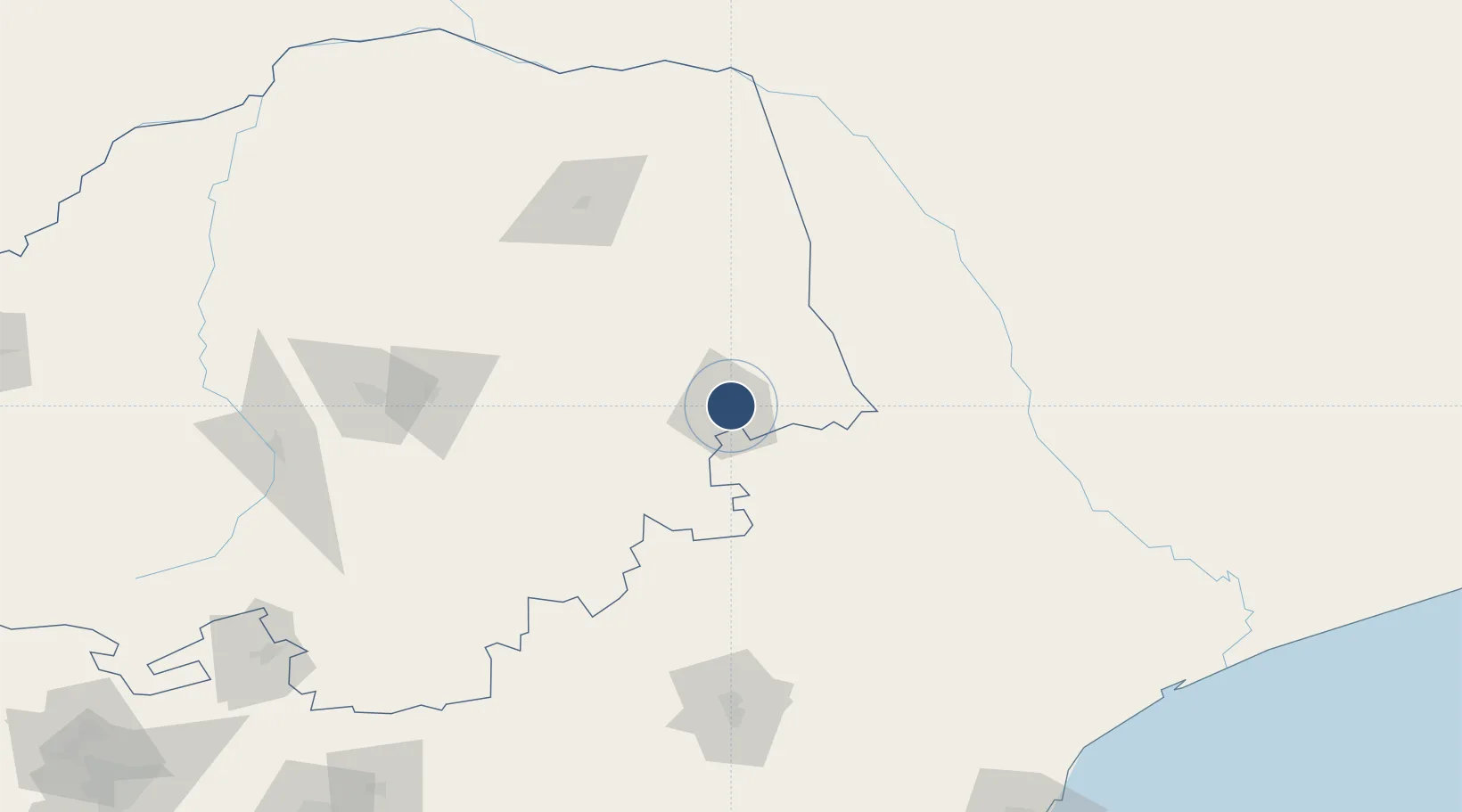
Location
Nearby Logistics Neighbours
Airports
- 1Eastgate Airport / Air Force Base Hoedspruit48 km
- 2Tzaneen Airport85 km
- 3Malamala Airport105 km
- 4Skukuza Airport122 km
- 5Kruger Mpumalanga International Airport161 km
Cities
- 1Letsitele77 km
- 2Belfast111 km
- 3Kiepersol126 km
- 4Barberton170 km
- 5Sunningdale195 km
Ports
- 1Maputo265 km
- 2Inhambane431 km
- 3Richards Bay550 km
- 4Beira593 km
- 5Durban659 km
DatabookThe Record of Consolidated Knowledge
South Africa beyond logistics?