UN/LOCODE hub · South Africa
ZAZCE

Potgietersrus

-24.1667°, 29.0167°
1
Transport functions

Transport Functions

Multimodal
UN/LOCODE

Hub Profile

Region
LP
GeoNames

Location

Location of ZAZCE
Natural Earth 10m (public domain) · LP · ZAZCE · -24.17, 29.02GoogleOSMYandex

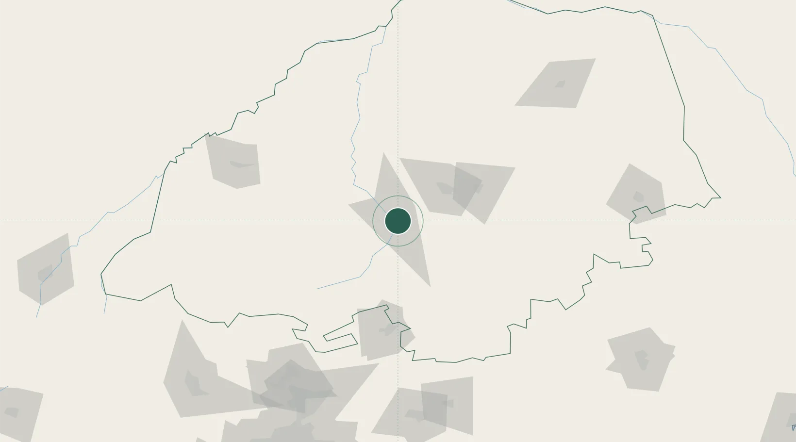
Nearby Logistics Neighbours

Cities
  1. 1Sunningdale33 km
  2. 2Jupiter33 km
  3. 3Mookgophong49 km
  4. 4Naboomspruit49 km
  5. 5Nylstroom85 km
Nearest neighbours — logibook spatial index (haversine) over the source coordinates
Ports
  1. 1Maputo408 km
  2. 2Richards Bay601 km
  3. 3Inhambane649 km
  4. 4Durban666 km
  5. 5Beira769 km
Nearest neighbours — logibook spatial index (haversine) over the source coordinates
Airports
  1. 1Pietersburg Municipal Airport55 km
  2. 2Polokwane International Airport57 km
  3. 3Tzaneen Airport139 km
  4. 4Wonderboom Airport184 km
  5. 5Waterkloof Air Force Base202 km
Nearest neighbours — logibook spatial index (haversine) over the source coordinates
Trade Zones
  1. 1Seshego Industrial Park54 km
  2. 2Tubatse Special Economic Zone133 km
  3. 3Babelegi Industrial Park152 km
  4. 4Tshwane Automotive Industrial Zone187 km
  5. 5Musina Makhado (South African Energy Metallurgical) Special Economic Zone193 km
Nearest neighbours — logibook spatial index (haversine) over the source coordinates
DatabookThe Record of Consolidated Knowledge
South Africa beyond logistics?
Browse databook

All Sources

LocationsUN/LOCODE
UN/LOCODE — free
Portsthe NGA World Port Index
Public domain (US gov)
AirportsOurAirports
Public domain
Trade Zonesthe World Bank SEZ database
CC BY 4.0
Trade ZonesOpen Zone Map
CC BY
← South Africa locations