Transport Functions
Multimodal
Hub Profile
Place type
Populated place
Region
Limpopo
Time zone
Africa/Johannesburg
Elevation
525 m
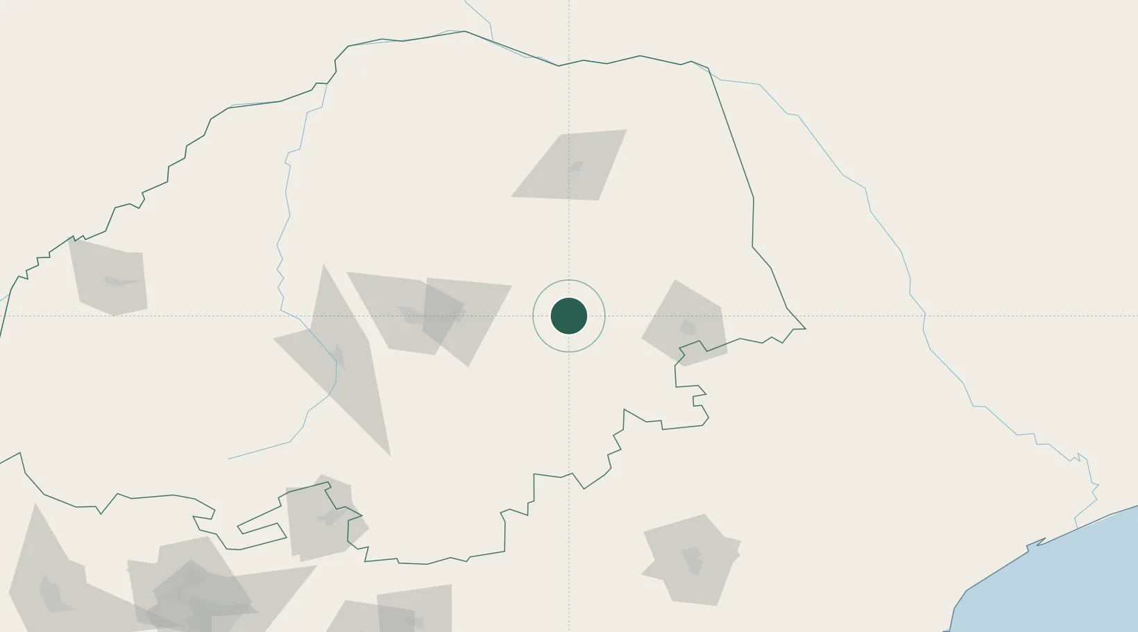
Location
Nearby Logistics Neighbours
Cities
- 1Sunningdale124 km
- 2Jupiter139 km
- 3Potgietersrus144 km
- 4Kiepersol146 km
- 5Belfast151 km
Ports
- 1Maputo317 km
- 2Inhambane508 km
- 3Richards Bay573 km
- 4Beira642 km
- 5Durban669 km
Airports
DatabookThe Record of Consolidated Knowledge
South Africa beyond logistics?