Medium airport · Botswana

Selebi Phikwe AirportFBSP
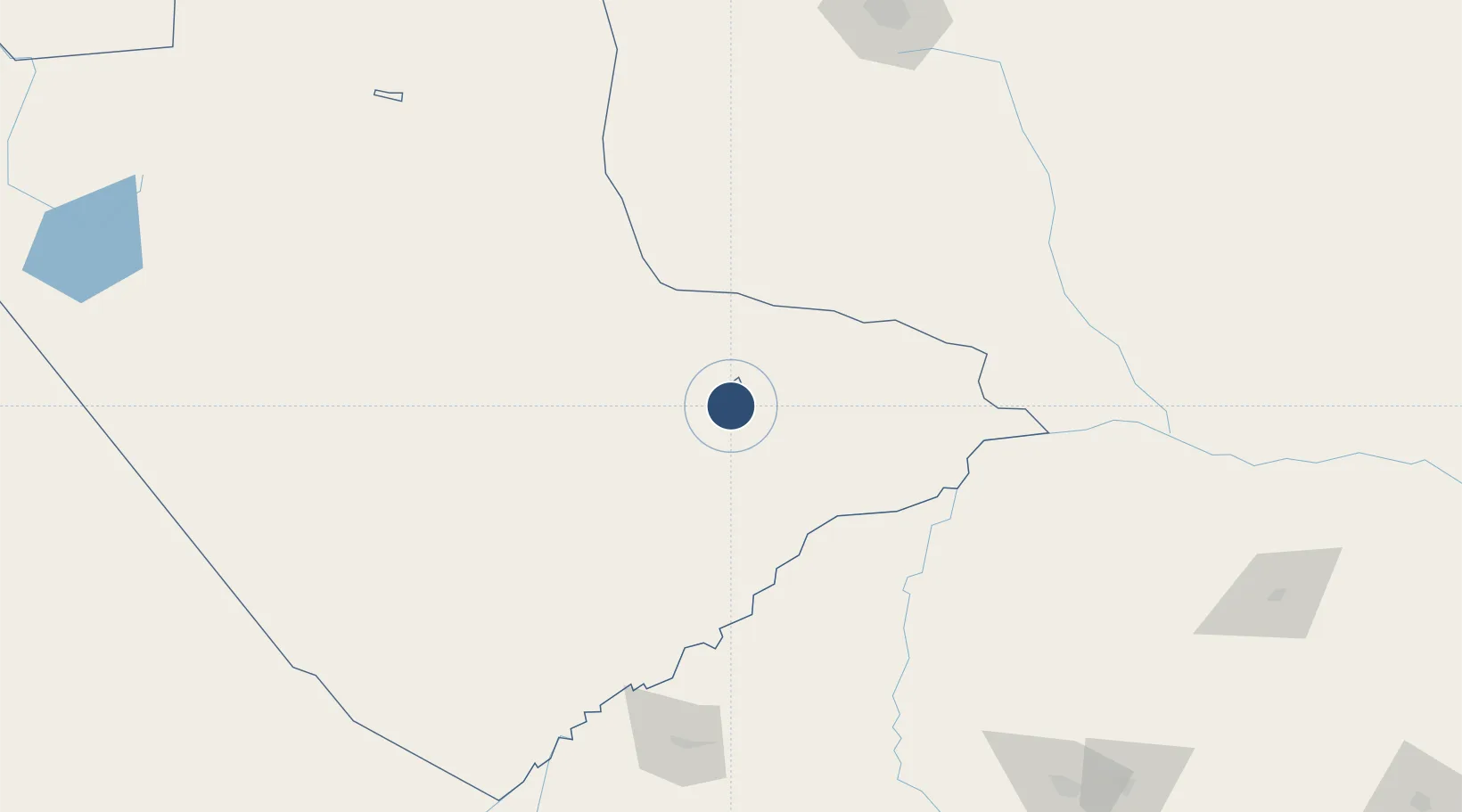
-22.0583°, 27.8288°
5,840 ft
Longest runway
1
Runways
2,925 ft
Elevation

Runway & Layout

Selebi Phikwe Airport runway & taxiway layout
Runway & taxiway layout — OpenStreetMap (ODbL) / OurAirports

Radio Frequencies

TWR
118.7 MHz
PHIKWE TWR
AFIS
118.7 MHz
OurAirports

Navaids

SP NDB Selebi Phikwe 303 kHz
OurAirports

Runways · 1

RunwayDimensions SurfaceTrue headingLit
12/30 5,840 × 98ft Asphalt 102°
OurAirports

Airport Specifications

IATA code
PKW
OurAirports
ICAO code
FBSP
OurAirports
Airport class
Medium airport
OurAirports
Scheduled service
No
OurAirports
Runway surface
Asphalt
OurAirports
Served city
Selebi Phikwe
OurAirports

Location

Location of FBSP
Natural Earth 10m (public domain) · Central · FBSP · -22.06, 27.83GoogleOSMYandex

Nearby Logistics Neighbours

Airports
  1. 1Phillip Gaonwe Matante International Airport107 km
  2. 2Joshua Mqabuko Nkomo International Airport242 km
  3. 3Sua Pan Airport244 km
  4. 4Polokwane International Airport260 km
  5. 5Pietersburg Municipal Airport268 km
Nearest neighbours — logibook spatial index (haversine) over the source coordinates
Cities
  1. 1Palapye91 km
  2. 2Francistown104 km
  3. 3Mahalapye155 km
  4. 4Blouberg167 km
  5. 5Gwanda174 km
Nearest neighbours — logibook spatial index (haversine) over the source coordinates
Ports
  1. 1Maputo646 km
  2. 2Beira768 km
  3. 3Inhambane802 km
  4. 4Richards Bay864 km
  5. 5Durban927 km
Nearest neighbours — logibook spatial index (haversine) over the source coordinates
Trade Zones
  1. 1Selebi Phikwe Special Economic Zone10 km
  2. 2Greater Palapye Special Economic Zone96 km
  3. 3Francistown Special Economic Zone109 km
  4. 4Tuli Block Tourism Zone131 km
  5. 5Beitbridge Special Economic Zone223 km
Nearest neighbours — logibook spatial index (haversine) over the source coordinates
DatabookThe Record of Consolidated Knowledge
Botswana beyond logistics?
Browse databook

All Sources

AirportsOurAirports
Public domain
Portsthe NGA World Port Index
Public domain (US gov)
LocationsUN/LOCODE
UN/LOCODE — free
Trade Zonesthe World Bank SEZ database
CC BY 4.0
Trade ZonesOpen Zone Map
CC BY
InfrastructureOpenStreetMap
ODbL 1.0
← Botswana airports