Economic Revitalization Project · Botswana

Tuli Block Tourism Zone Active
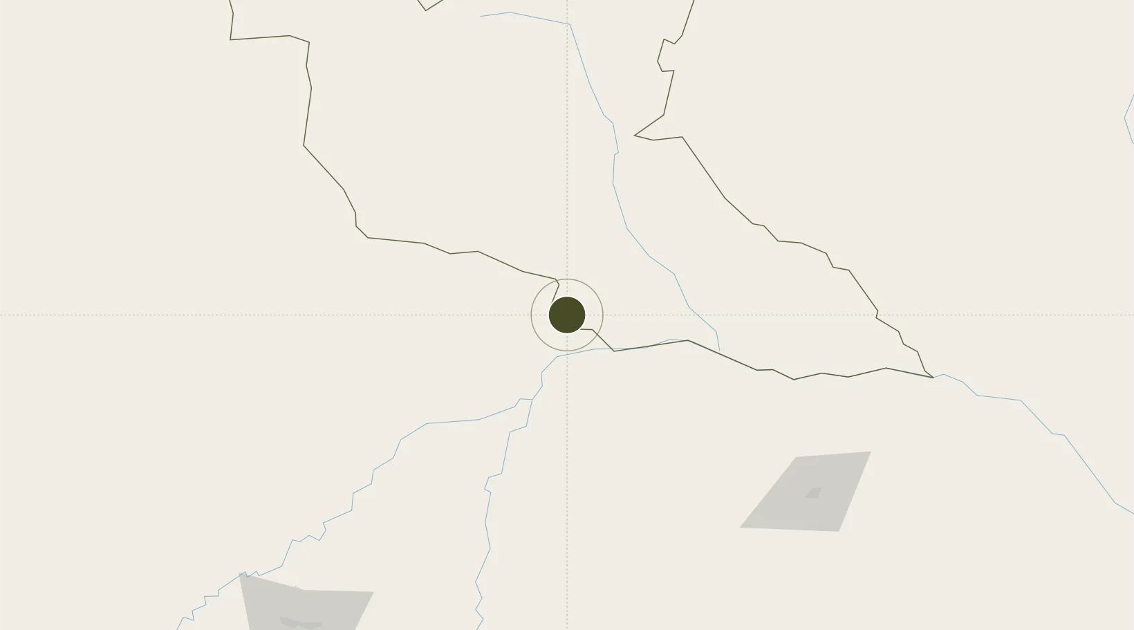
-21.9934°, 29.1013°
72,000 ha
Zone area
563.1 km
Nearest port
131.4 km
Nearest airport

Gateway access

Nearest neighbours — logibook spatial index (haversine) over the source coordinates

Zone profile

Zone type
Economic Revitalization Project
Open Zone Map
Region
Matabeleland South
Open Zone Map
Status
Active
Open Zone Map
Management
Public
Open Zone Map
Operator
Northern Tuli Game Reserve
Open Zone Map
Legal framework
Special Economic Zones Act (Act 13, 2015)
Open Zone Map

Location

Location of ozm-203
Natural Earth 10m (public domain) · Matabeleland South · ozm-203 · -21.99, 29.10GoogleOSMYandex

Nearby Logistics Neighbours

Ports
  1. 1Maputo563 km
  2. 2Beira642 km
  3. 3Inhambane679 km
  4. 4Richards Bay816 km
  5. 5Chinde860 km
Nearest neighbours — logibook spatial index (haversine) over the source coordinates
Airports
  1. 1Selebi Phikwe Airport131 km
  2. 2Phillip Gaonwe Matante International Airport193 km
  3. 3Polokwane International Airport209 km
  4. 4Pietersburg Municipal Airport219 km
  5. 5Joshua Mqabuko Nkomo International Airport225 km
Nearest neighbours — logibook spatial index (haversine) over the source coordinates
Cities
  1. 1Messina103 km
  2. 2Gwanda118 km
  3. 3Blouberg126 km
  4. 4Filabusi163 km
  5. 5Francistown188 km
Nearest neighbours — logibook spatial index (haversine) over the source coordinates
DatabookThe Record of Consolidated Knowledge
Botswana beyond logistics?
Browse databook

All Sources

Trade ZonesOpen Zone Map
CC BY
Portsthe NGA World Port Index
Public domain (US gov)
AirportsOurAirports
Public domain
LocationsUN/LOCODE
UN/LOCODE — free
← Botswana trade zones