Large airport · South Africa

Polokwane International AirportFAPP
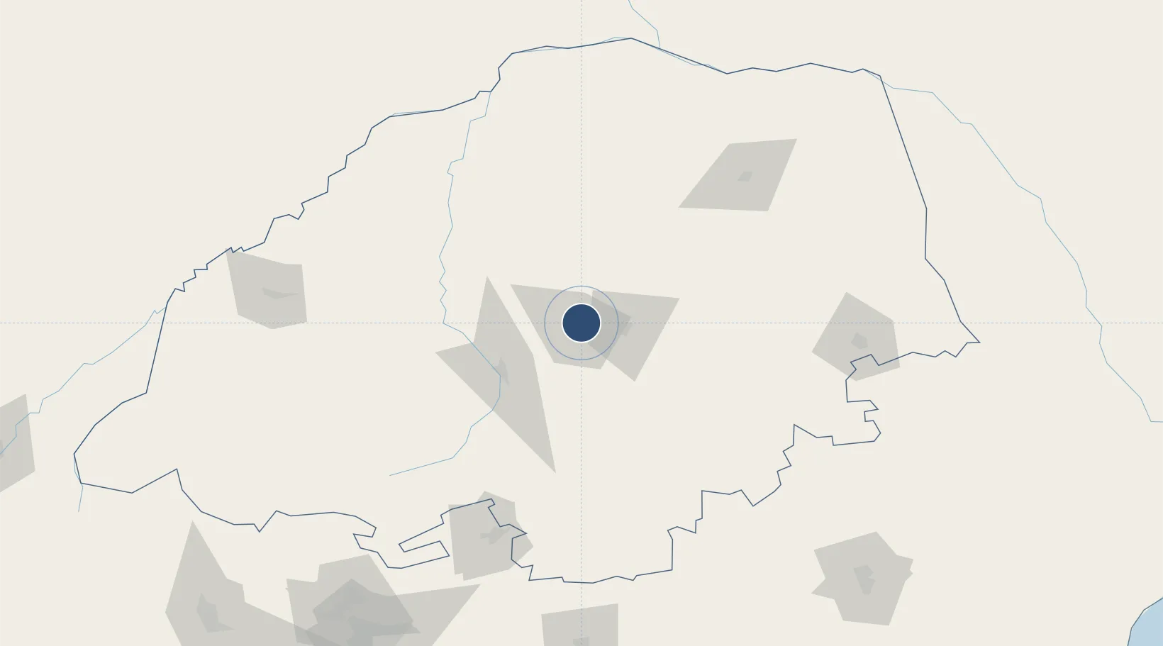
-23.8453°, 29.4586°
8,400 ft
Longest runway
2
Runways
4,076 ft
Elevation

Runway & Layout

Polokwane International Airport runway & taxiway layout
Runway & taxiway layout — OpenStreetMap (ODbL) / OurAirports

Radio Frequencies

TWR
124.3 MHz
OurAirports

Runways · 2

RunwayDimensions SurfaceTrue headingLit
01/19 8,400 × 148ft Asphalt 359°
05/23 7,612 × 148ft Asphalt 038°
OurAirports

Airport Specifications

IATA code
PTG
OurAirports
ICAO code
FAPP
OurAirports
Airport class
Large airport
OurAirports
Scheduled service
Yes
OurAirports
Runway surface
Asphalt
OurAirports
Served city
Polokwane
OurAirports

Location

Location of FAPP
Natural Earth 10m (public domain) · Limpopo · FAPP · -23.85, 29.46GoogleOSMYandex

Nearby Logistics Neighbours

Airports
  1. 1Pietersburg Municipal Airport9 km
  2. 2Tzaneen Airport89 km
  3. 3Eastgate Airport / Air Force Base Hoedspruit172 km
  4. 4Hendrik Van Eck Airport173 km
  5. 5Wonderboom Airport237 km
Nearest neighbours — logibook spatial index (haversine) over the source coordinates
Cities
  1. 1Jupiter43 km
  2. 2Sunningdale57 km
  3. 3Potgietersrus57 km
  4. 4Blouberg94 km
  5. 5Letsitele96 km
Nearest neighbours — logibook spatial index (haversine) over the source coordinates
Ports
  1. 1Maputo390 km
  2. 2Inhambane604 km
  3. 3Richards Bay612 km
  4. 4Durban688 km
  5. 5Beira712 km
Nearest neighbours — logibook spatial index (haversine) over the source coordinates
Trade Zones
  1. 1Seshego Industrial Park6 km
  2. 2Tubatse Special Economic Zone126 km
  3. 3Musina Makhado (South African Energy Metallurgical) Special Economic Zone142 km
  4. 4Beitbridge Special Economic Zone189 km
  5. 5Babelegi Industrial Park206 km
Nearest neighbours — logibook spatial index (haversine) over the source coordinates
DatabookThe Record of Consolidated Knowledge
South Africa beyond logistics?
Browse databook

All Sources

AirportsOurAirports
Public domain
Portsthe NGA World Port Index
Public domain (US gov)
LocationsUN/LOCODE
UN/LOCODE — free
Trade Zonesthe World Bank SEZ database
CC BY 4.0
Trade ZonesOpen Zone Map
CC BY
InfrastructureOpenStreetMap
ODbL 1.0
← South Africa airports