Medium airport · South Africa

Kleinsee AirportFAKZ
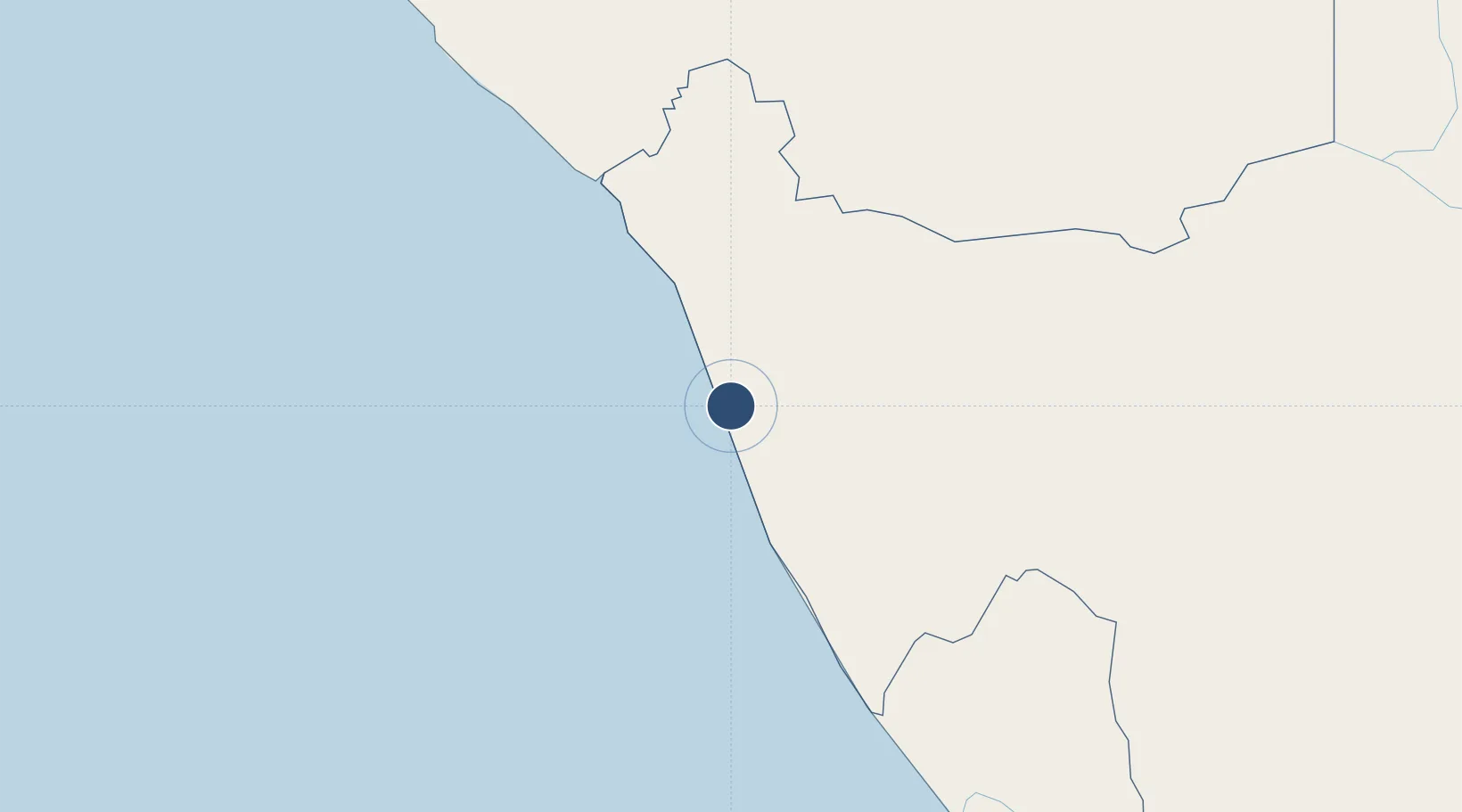
-29.6884°, 17.0940°
4,921 ft
Longest runway
1
Runways
270 ft
Elevation

Runway & Layout

Kleinsee Airport runway & taxiway layout
Runway & taxiway layout — OpenStreetMap (ODbL) / OurAirports

Radio Frequencies

CTAF
123.5 MHz
OurAirports

Navaids

KZ NDB Kleinsee 213 kHz
OurAirports

Runways · 1

RunwayDimensions SurfaceTrue headingLit
02/20 4,921 × 98ft Asphalt 004°
OurAirports

Airport Specifications

IATA code
KLZ
OurAirports
ICAO code
FAKZ
OurAirports
Airport class
Medium airport
OurAirports
Scheduled service
No
OurAirports
Runway surface
Asphalt
OurAirports
Served city
Kleinsee
OurAirports

Location

Location of FAKZ
Natural Earth 10m (public domain) · Northern Cape · FAKZ · -29.69, 17.09GoogleOSMYandex

Nearby Logistics Neighbours

Airports
  1. 1Springbok Airport82 km
  2. 2Alexander Bay Airport135 km
  3. 3Oranjemund Airport138 km
  4. 4Aggeneys Airport173 km
  5. 5Vredendal Airport258 km
Nearest neighbours — logibook spatial index (haversine) over the source coordinates
Cities
  1. 1Aussenkehr152 km
  2. 2Komkans193 km
  3. 3Stompneus201 km
  4. 4Klawer272 km
  5. 5Elands Bay313 km
Nearest neighbours — logibook spatial index (haversine) over the source coordinates
Ports
  1. 1Saldanha Bay381 km
  2. 2Luderitz Bay388 km
  3. 3Cape Town487 km
  4. 4Simonstown516 km
  5. 5Mossel Bay690 km
Nearest neighbours — logibook spatial index (haversine) over the source coordinates
Trade Zones
  1. 1Namakwa (Nama-Khoi) Special Economic Zone188 km
  2. 2Saldanha Bay Special Economic Zone380 km
  3. 3Upington Special Economic Zone426 km
  4. 4Atlantis Special Economic Zone453 km
  5. 5Walvis Bay (Nara Namib) Export Processing Zone792 km
Nearest neighbours — logibook spatial index (haversine) over the source coordinates
DatabookThe Record of Consolidated Knowledge
South Africa beyond logistics?
Browse databook

All Sources

AirportsOurAirports
Public domain
Portsthe NGA World Port Index
Public domain (US gov)
LocationsUN/LOCODE
UN/LOCODE — free
Trade Zonesthe World Bank SEZ database
CC BY 4.0
Trade ZonesOpen Zone Map
CC BY
InfrastructureOpenStreetMap
ODbL 1.0
← South Africa airports