Transport Functions
Multimodal
Hub Profile
Region
WC
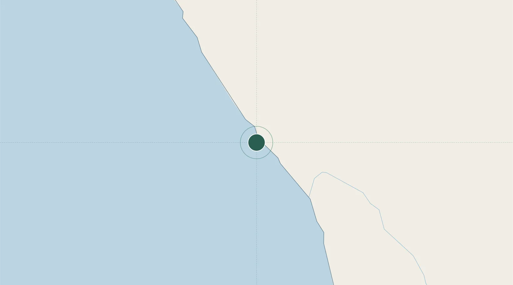
Location
Nearby Logistics Neighbours
Cities
- 1Komkans23 km
- 2Klawer81 km
- 3Elands Bay112 km
- 4Clanwilliam130 km
- 5Laaiplek158 km
Ports
- 1Saldanha Bay186 km
- 2Cape Town288 km
- 3Simonstown318 km
- 4Mossel Bay506 km
- 5Luderitz Bay588 km
Airports
- 1Vredendal Airport70 km
- 2Saldanha/Vredenburg Airport178 km
- 3Langebaanweg Airport180 km
- 4Springbok Airport187 km
- 5Kleinsee Airport201 km
Trade Zones
DatabookThe Record of Consolidated Knowledge
South Africa beyond logistics?