UN/LOCODE hub · South Africa
ZAZBR

Felixton

-28.8167°, 31.8833°
1,225
Population
1
Transport functions

Transport Functions

Multimodal
UN/LOCODE

Hub Profile

Place type
Populated place
GeoNames
Region
KwaZulu-Natal
GeoNames
Population
1,225
GeoNames
Time zone
Africa/Johannesburg
GeoNames
Elevation
61 m
GeoNames

Location

Location of ZAZBR
Natural Earth 10m (public domain) · KwaZulu-Natal · ZAZBR · -28.82, 31.88GoogleOSMYandex

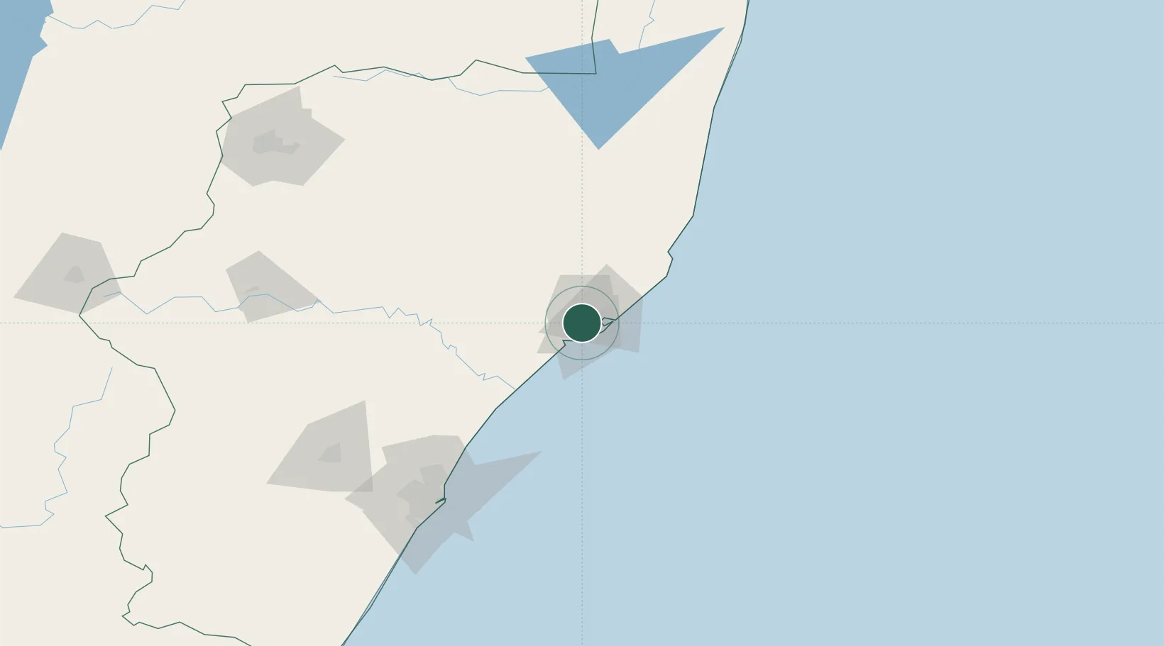
Nearby Logistics Neighbours

Cities
  1. 1Alton14 km
  2. 2Wandsbeck53 km
  3. 3Isithebe55 km
  4. 4Compensation102 km
  5. 5Ballito Bay103 km
Nearest neighbours — logibook spatial index (haversine) over the source coordinates
Ports
  1. 1Richards Bay21 km
  2. 2Durban141 km
  3. 3Maputo324 km
  4. 4East London602 km
  5. 5Inhambane648 km
Nearest neighbours — logibook spatial index (haversine) over the source coordinates
Airports
  1. 1Richards Bay Airport22 km
  2. 2Prince Mangosuthu Buthelezi Airport72 km
  3. 3King Shaka International Airport116 km
  4. 4Virginia Airport133 km
  5. 5Mkuze Airport133 km
Nearest neighbours — logibook spatial index (haversine) over the source coordinates
Trade Zones
  1. 1Richards Bay Special Economic Zone13 km
  2. 2Isithebe Industrial Park56 km
  3. 3Durban Aerotropolis113 km
  4. 4Dube TradeZone115 km
  5. 5Dube AgriZone117 km
Nearest neighbours — logibook spatial index (haversine) over the source coordinates
DatabookThe Record of Consolidated Knowledge
South Africa beyond logistics?
Browse databook

All Sources

LocationsUN/LOCODE
UN/LOCODE — free
LocationsGeoNames
CC BY 4.0
Portsthe NGA World Port Index
Public domain (US gov)
AirportsOurAirports
Public domain
Trade Zonesthe World Bank SEZ database
CC BY 4.0
Trade ZonesOpen Zone Map
CC BY
← South Africa locations