Transport Functions
Rail
Road
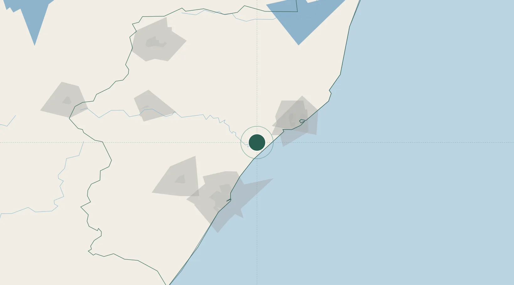
Location
Nearby Logistics Neighbours
Cities
- 1Compensation50 km
- 2Ballito Bay52 km
- 3Felixton55 km
- 4Wandsbeck59 km
- 5Canelands68 km
Ports
- 1Richards Bay74 km
- 2Durban92 km
- 3Maputo366 km
- 4East London550 km
- 5Inhambane699 km
Airports
Trade Zones
- 1Isithebe Industrial Park1 km
- 2Durban Aerotropolis61 km
- 3Dube TradeZone63 km
- 4Dube AgriZone65 km
- 5Dube TradePort66 km
DatabookThe Record of Consolidated Knowledge
South Africa beyond logistics?