Diversified Zone · China
Bayantuohai Economic and Technological Development Zone Active
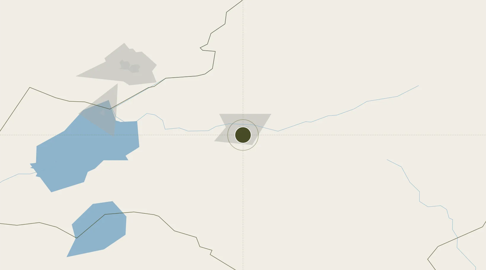
49.1364°, 119.7559°
6 ha
Zone area
938.5 km
Nearest port
9.4 km
Nearest airport
Gateway access
Zone profile
Zone type
Diversified Zone
Region
Inner Mongol
Status
Active
Management
Public
Operator
Inner Mongolia Bayantuohai Economic and Technological Development Zone Management Committee
Legal framework
Bayantohai Economic and Technological Development Zone, established in July 2002, has been approved as an autonomous region-level development zone by the People's Government of Inner Mongolia Autonomous Region.
Location
Nearby Logistics Neighbours
Ports
- 1Jinzhou Wan939 km
- 2Huludao Gang943 km
- 3Yingkou960 km
- 4Bayuquan1000 km
- 5Qinhuangdao1023 km
Airports
- 1Hulunbuir Hailar Airport9 km
- 2Krasnokamensk Airport158 km
- 3Manzhouli Xijiao Airport182 km
- 4Arxan Yi'ershi Airport203 km
- 5Zhalantun Genghis Khan Airport263 km
Cities
- 1Heishantou121 km
- 2Manzhouli179 km
- 3Zabaykal'sk185 km
- 4Shiwei241 km
- 5Ihrlerstein323 km
DatabookThe Record of Consolidated Knowledge
China beyond logistics?