Medium airport · China

Zhalantun Genghis Khan AirportZBZL
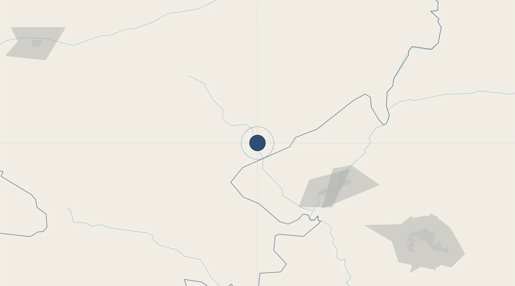
47.8659°, 122.7687°
8,202 ft
Longest runway
1
Runways
928 ft
Elevation

Runway & Layout

Zhalantun Genghis Khan Airport runway & taxiway layout
Runway & taxiway layout — OpenStreetMap (ODbL) / OurAirports

Runways · 1

RunwayDimensions SurfaceTrue headingLit
02/20 8,202 × 148ft
OurAirports

Airport Specifications

IATA code
NZL
OurAirports
ICAO code
ZBZL
OurAirports
Airport class
Medium airport
OurAirports
Scheduled service
Yes
OurAirports
Served city
Zhalantun
OurAirports

Location

Location of ZBZL
Natural Earth 10m (public domain) · Inner Mongol · ZBZL · 47.87, 122.77GoogleOSMYandex

Nearby Logistics Neighbours

Airports
  1. 1Qiqihar Sanjiazi Airport111 km
  2. 2Ulanhot Yilelite Airport195 km
  3. 3Daqing Sartu Airport218 km
  4. 4Arxan Yi'ershi Airport223 km
  5. 5Wudalianchi Dedu Airport257 km
Nearest neighbours — logibook spatial index (haversine) over the source coordinates
Cities
  1. 1Daqing178 km
  2. 2Ulan Hot205 km
  3. 3Baicheng246 km
  4. 4Zhaodong315 km
  5. 5Vladivostok350 km
Nearest neighbours — logibook spatial index (haversine) over the source coordinates
Ports
  1. 1Yingkou800 km
  2. 2Jinzhou Wan802 km
  3. 3Huludao Gang809 km
  4. 4Bayuquan843 km
  5. 5Pos'yet855 km
Nearest neighbours — logibook spatial index (haversine) over the source coordinates
Trade Zones
  1. 1Lingdong Industrial Park, Hulunbuir17 km
  2. 2Gannan County Industrial Demonstration Base56 km
  3. 3Arong Banner Industrial Park59 km
  4. 4Hecheng Science and Technology Industrial Park110 km
  5. 5Fuyu Economic Development Zone129 km
Nearest neighbours — logibook spatial index (haversine) over the source coordinates
DatabookThe Record of Consolidated Knowledge
China beyond logistics?
Browse databook

All Sources

AirportsOurAirports
Public domain
Portsthe NGA World Port Index
Public domain (US gov)
LocationsUN/LOCODE
UN/LOCODE — free
Trade Zonesthe World Bank SEZ database
CC BY 4.0
Trade ZonesOpen Zone Map
CC BY
InfrastructureOpenStreetMap
ODbL 1.0
← China airports