Diversified Zone · China
Ergun Autonomous Region-level Border Economic Cooperation Zone Active
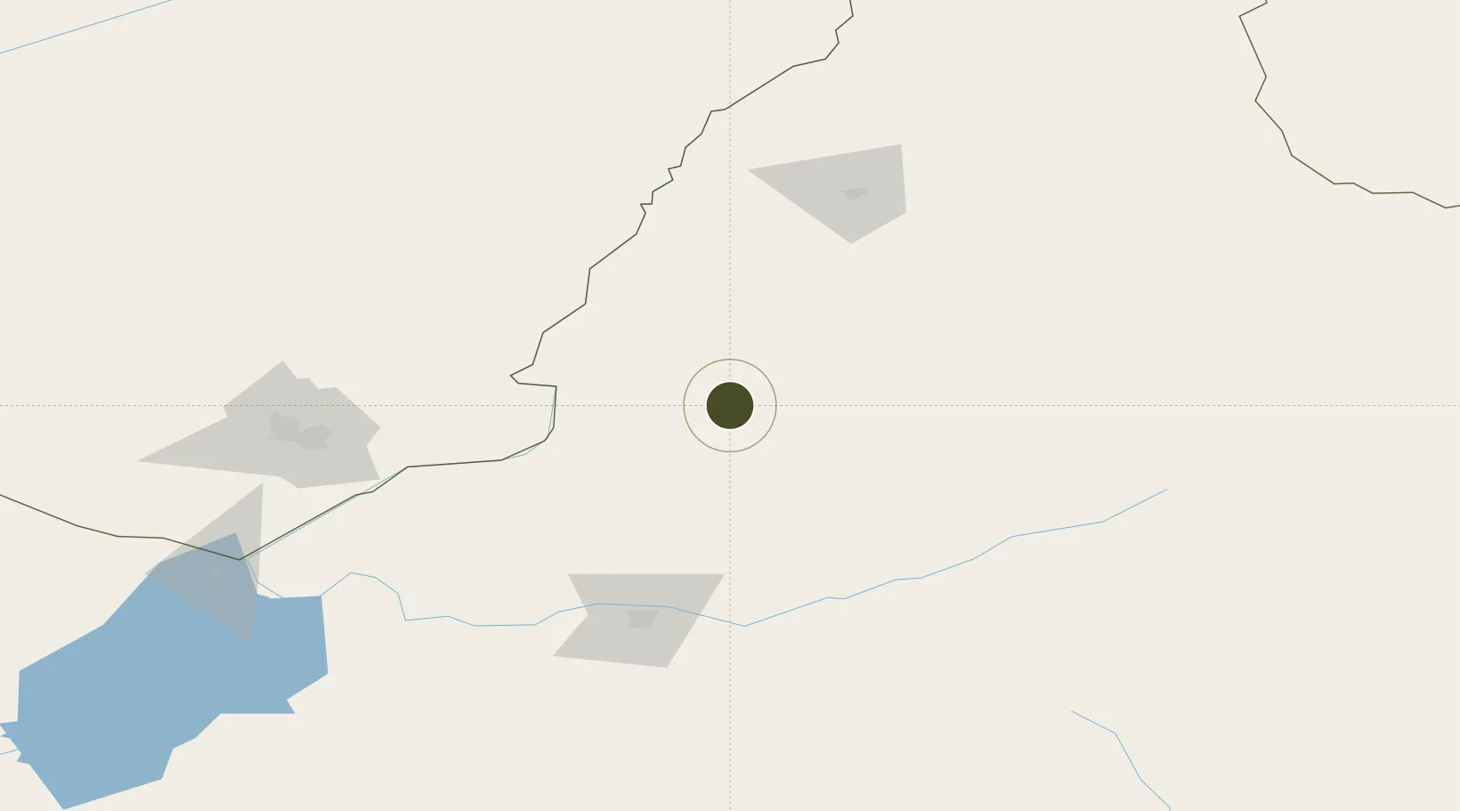
50.2492°, 120.1900°
483 ha
Zone area
1,058.6 km
Nearest port
118.7 km
Nearest airport
Gateway access
Zone profile
Zone type
Diversified Zone
Region
Inner Mongol
Status
Active
Management
Public
Operator
Ergun Autonomous Region-level Border Economic Cooperation Zone Management Committee
Legal framework
Regulations on Taxation Policies of National High-Tech Industrial Development Zones Approved by State Council of the People's Republic of China Mar 6, 1991; Administrative Measures for the Recognition of High-tech Enterprises; Ministry of Science and Tech
Location
Nearby Logistics Neighbours
Ports
- 1Jinzhou Wan1059 km
- 2Huludao Gang1064 km
- 3Yingkou1075 km
- 4Bayuquan1116 km
- 5Qinhuangdao1148 km
Airports
- 1Hulunbuir Hailar Airport119 km
- 2Krasnokamensk Airport154 km
- 3Manzhouli Xijiao Airport218 km
- 4Chindant Air Base273 km
- 5Daxing'anling Elunchun Airport279 km
Cities
- 1Heishantou58 km
- 2Shiwei118 km
- 3Manzhouli214 km
- 4Zabaykal'sk217 km
- 5Mohe345 km
DatabookThe Record of Consolidated Knowledge
China beyond logistics?