Export Processing Zone · China

Lingdong Industrial Park, Hulunbuir Active
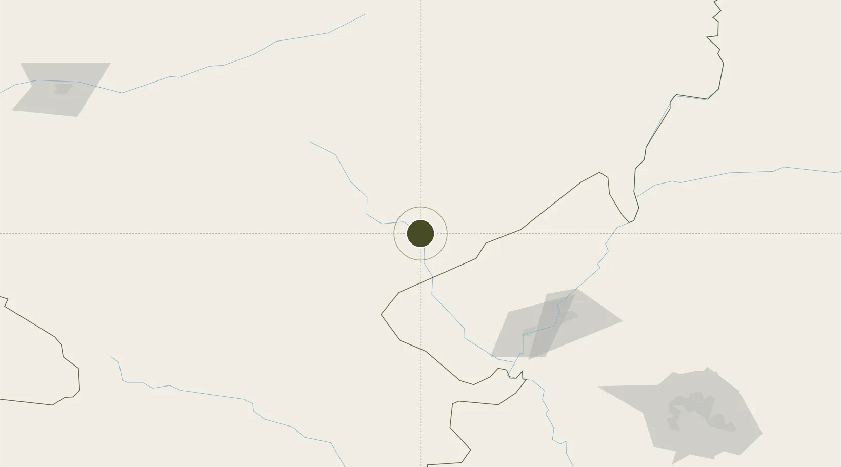
48.0213°, 122.7442°
556 ha
Zone area
816.9 km
Nearest port
17.4 km
Nearest airport

Gateway access

Nearest neighbours — logibook spatial index (haversine) over the source coordinates

Zone profile

Zone type
Export Processing Zone
Open Zone Map
Region
Inner Mongol
Open Zone Map
Status
Active
Open Zone Map
Management
Public
Open Zone Map
Operator
Working Committee of Arong Banner Industrial Park
Open Zone Map
Legal framework
Development Plan of Pig Industry in key Areas of East China (2019-2023)
Open Zone Map

Location

Location of ozm-1177
Natural Earth 10m (public domain) · Inner Mongol · ozm-1177 · 48.02, 122.74GoogleOSMYandex

Nearby Logistics Neighbours

Ports
  1. 1Yingkou817 km
  2. 2Jinzhou Wan819 km
  3. 3Huludao Gang826 km
  4. 4Bayuquan860 km
  5. 5Pos'yet867 km
Nearest neighbours — logibook spatial index (haversine) over the source coordinates
Airports
  1. 1Zhalantun Genghis Khan Airport17 km
  2. 2Qiqihar Sanjiazi Airport124 km
  3. 3Ulanhot Yilelite Airport211 km
  4. 4Arxan Yi'ershi Airport226 km
  5. 5Daqing Sartu Airport229 km
Nearest neighbours — logibook spatial index (haversine) over the source coordinates
Cities
  1. 1Daqing191 km
  2. 2Ulan Hot221 km
  3. 3Baicheng263 km
  4. 4Zhaodong328 km
  5. 5Heishantou344 km
Nearest neighbours — logibook spatial index (haversine) over the source coordinates
Trade Zones
  1. 1Arong Banner Industrial Park55 km
  2. 2Gannan County Industrial Demonstration Base58 km
  3. 3Hecheng Science and Technology Industrial Park121 km
  4. 4Fuyu Economic Development Zone133 km
  5. 5Nehe Economic Development Zone163 km
Nearest neighbours — logibook spatial index (haversine) over the source coordinates
DatabookThe Record of Consolidated Knowledge
China beyond logistics?
Browse databook

All Sources

Trade ZonesOpen Zone Map
CC BY
Portsthe NGA World Port Index
Public domain (US gov)
AirportsOurAirports
Public domain
LocationsUN/LOCODE
UN/LOCODE — free
← China trade zones