Diversified Zone · China
Manzhouli Industrial Park Active
49.5972°, 117.4932°
1,022 ha
Zone area
1,023.3 km
Nearest port
12.2 km
Nearest airport
Gateway access
Zone profile
Zone type
Diversified Zone
Region
Inner Mongol
Status
Active
Management
Public
Operator
Management Commitiee
Legal framework
Regulations on Taxation Policies of National High-Tech Industrial Development Zones Approved by State Council of the People's Republic of China Mar 6, 1991; Administrative Measures for the Recognition of High-tech Enterprises; Ministry of Science and Tech
Location
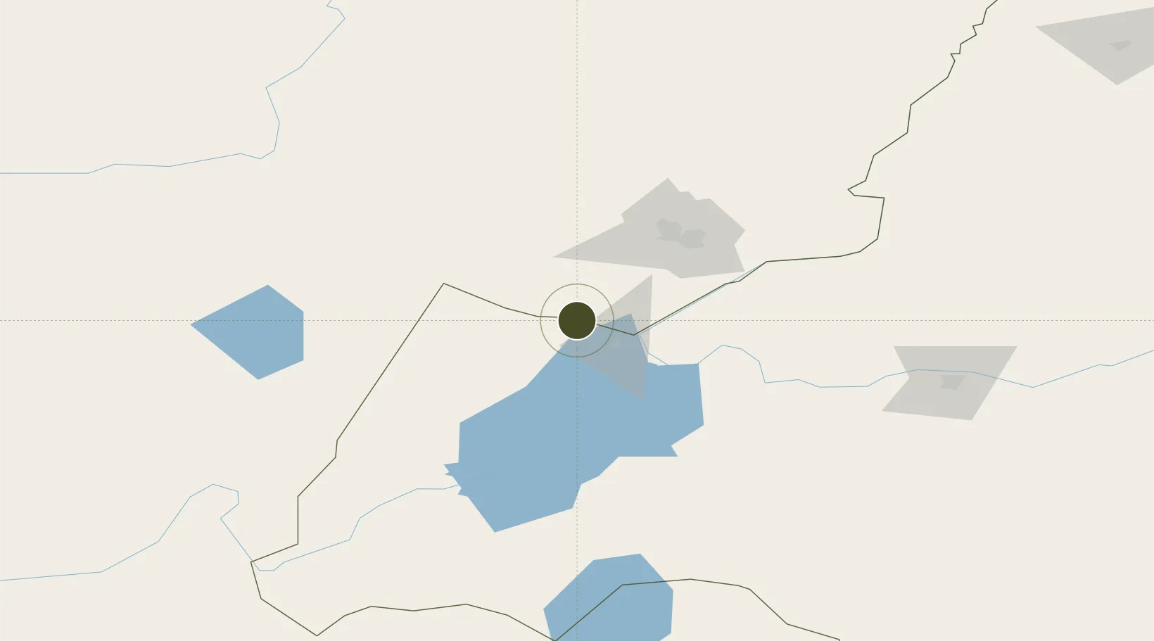
Nearby Logistics Neighbours
Ports
- 1Jinzhou Wan1023 km
- 2Huludao Gang1026 km
- 3Yingkou1058 km
- 4Qinhuangdao1088 km
- 5Bayuquan1095 km
Airports
- 1Manzhouli Xijiao Airport12 km
- 2Krasnokamensk Airport63 km
- 3Chindant Air Base121 km
- 4Hulunbuir Hailar Airport174 km
- 5Step Air Base215 km
Cities
- 1Manzhouli8 km
- 2Zabaykal'sk13 km
- 3Heishantou151 km
- 4Ihrlerstein173 km
- 5Schondorf am Ammersee219 km
DatabookThe Record of Consolidated Knowledge
China beyond logistics?