Transport Functions
Port
Hub Profile
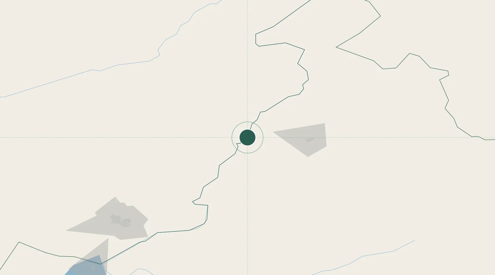
Place type
Local administrative seat
Region
Inner Mongolia
Time zone
Asia/Shanghai
Elevation
496 m
Location
Nearby Logistics Neighbours
Cities
- 1Heishantou128 km
- 2Talakan254 km
- 3Mohe258 km
- 4Zabaykal'sk261 km
- 5Manzhouli262 km
Ports
- 1Jinzhou Wan1177 km
- 2Huludao Gang1182 km
- 3Yingkou1194 km
- 4Bayuquan1235 km
- 5Qinhuangdao1264 km
Airports
- 1Krasnokamensk Airport192 km
- 2Hulunbuir Hailar Airport233 km
- 3Mohe Gulian Airport248 km
- 4Manzhouli Xijiao Airport266 km
- 5Chindant Air Base270 km
DatabookThe Record of Consolidated Knowledge
China beyond logistics?