Transport Functions
Port
Hub Profile
Place type
Local administrative seat
Region
Inner Mongolia
Time zone
Asia/Shanghai
Elevation
544 m
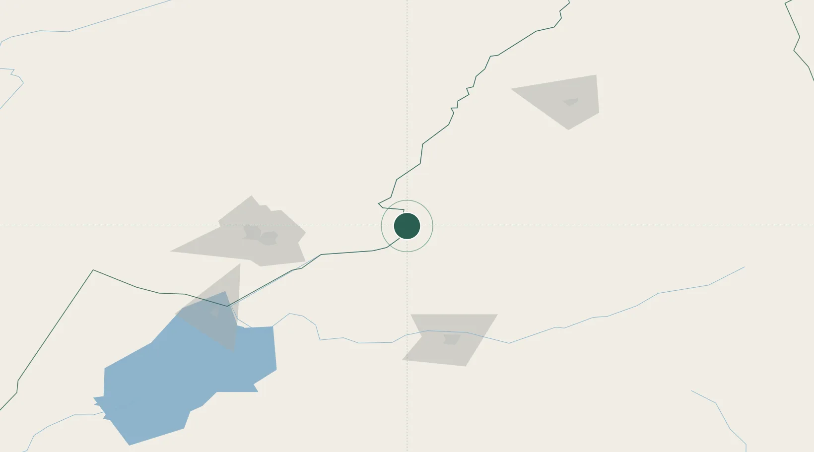
Location
Nearby Logistics Neighbours
Cities
- 1Shiwei128 km
- 2Manzhouli159 km
- 3Zabaykal'sk161 km
- 4Ihrlerstein324 km
- 5Talakan364 km
Ports
- 1Jinzhou Wan1059 km
- 2Huludao Gang1064 km
- 3Yingkou1081 km
- 4Bayuquan1121 km
- 5Qinhuangdao1142 km
Airports
- 1Krasnokamensk Airport96 km
- 2Hulunbuir Hailar Airport115 km
- 3Manzhouli Xijiao Airport163 km
- 4Chindant Air Base217 km
- 5Step Air Base293 km
DatabookThe Record of Consolidated Knowledge
China beyond logistics?