Medium airport · Russia
Krasnokamensk AirportUIAE
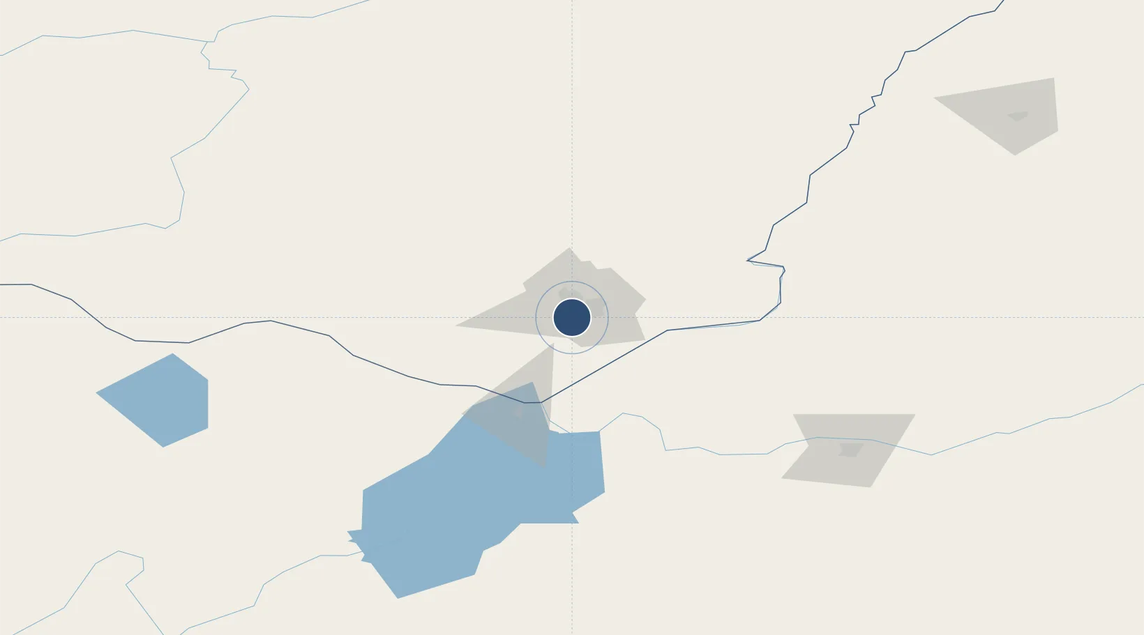
50.0331°, 118.0611°
8,202 ft
Longest runway
1
Runways
2,139 ft
Elevation
Runway & Layout

Runways · 1
| Runway | Dimensions | Surface | True heading | Lit |
|---|---|---|---|---|
| 15/33 | 8,202 × 131ft | Concrete | — | ✓ |
Airport Specifications
ICAO code
UIAE
Airport class
Medium airport
Scheduled service
No
Runway surface
Concrete
Served city
Krasnokamensk
Location
Nearby Logistics Neighbours
Airports
- 1Manzhouli Xijiao Airport74 km
- 2Chindant Air Base129 km
- 3Hulunbuir Hailar Airport157 km
- 4Step Air Base216 km
- 5Choibalsan Airport326 km
Cities
- 1Zabaykal'sk70 km
- 2Manzhouli70 km
- 3Heishantou96 km
- 4Shiwei192 km
- 5Ihrlerstein232 km
Ports
- 1Jinzhou Wan1059 km
- 2Huludao Gang1062 km
- 3Yingkou1089 km
- 4Bayuquan1127 km
- 5Qinhuangdao1130 km
DatabookThe Record of Consolidated Knowledge
Russia beyond logistics?