Medium airport · China
Manzhouli Xijiao AirportZBMZ
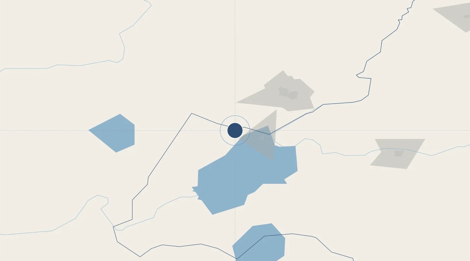
49.5667°, 117.3300°
9,186 ft
Longest runway
1
Runways
2,231 ft
Elevation
Runway & Layout

Runways · 1
| Runway | Dimensions | Surface | True heading | Lit |
|---|---|---|---|---|
| 12/30 | 9,186 × 148ft | Concrete | 107° | ✓ |
Airport Specifications
IATA code
NZH
ICAO code
ZBMZ
Airport class
Medium airport
Scheduled service
Yes
Runway surface
Concrete
Served city
Manzhouli
Location
Nearby Logistics Neighbours
Airports
- 1Krasnokamensk Airport74 km
- 2Chindant Air Base116 km
- 3Hulunbuir Hailar Airport185 km
- 4Step Air Base210 km
- 5Choibalsan Airport253 km
Cities
- 1Manzhouli4 km
- 2Zabaykal'sk8 km
- 3Ihrlerstein161 km
- 4Heishantou163 km
- 5Schondorf am Ammersee207 km
Ports
- 1Jinzhou Wan1024 km
- 2Huludao Gang1026 km
- 3Yingkou1060 km
- 4Qinhuangdao1086 km
- 5Bayuquan1096 km
DatabookThe Record of Consolidated Knowledge
China beyond logistics?