Large airport · China
Hulunbuir Hailar AirportZBLA
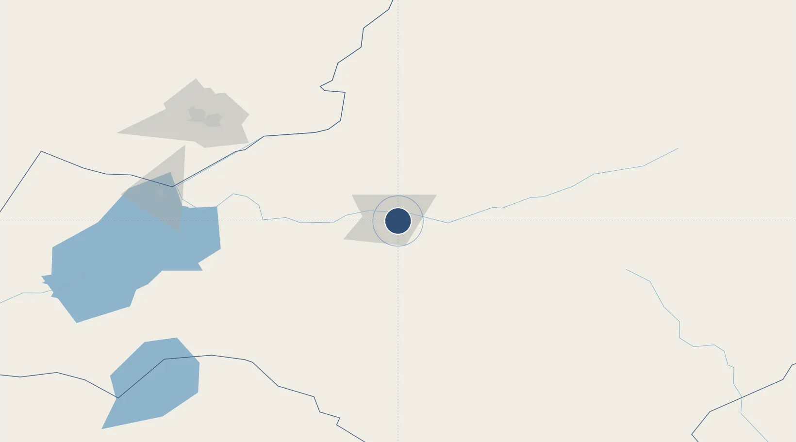
49.2086°, 119.8223°
8,530 ft
Longest runway
1
Runways
2,169 ft
Elevation
Runway & Layout

Radio Frequencies
TWR
118.1 MHz
HAILAR TWR
Navaids
HL NDB Dongshan 347 kHz
HLD VOR-DME Hailar 115.10 MHz
Runways · 1
| Runway | Dimensions | Surface | True heading | Lit |
|---|---|---|---|---|
| 09/27 | 8,530 × 148ft | Concrete | 084° | ✓ |
Airport Specifications
IATA code
HLD
ICAO code
ZBLA
Airport class
Large airport
Scheduled service
Yes
Runway surface
Concrete
Served city
Hailar
Location
Nearby Logistics Neighbours
Airports
- 1Krasnokamensk Airport157 km
- 2Manzhouli Xijiao Airport185 km
- 3Arxan Yi'ershi Airport211 km
- 4Zhalantun Genghis Khan Airport263 km
- 5Chindant Air Base282 km
Cities
- 1Heishantou115 km
- 2Manzhouli181 km
- 3Zabaykal'sk187 km
- 4Shiwei233 km
- 5Ihrlerstein328 km
Ports
- 1Jinzhou Wan946 km
- 2Huludao Gang951 km
- 3Yingkou967 km
- 4Bayuquan1006 km
- 5Qinhuangdao1032 km
DatabookThe Record of Consolidated Knowledge
China beyond logistics?