Diversified Zone · China
Zhalai Nuoer Industrial Park Active
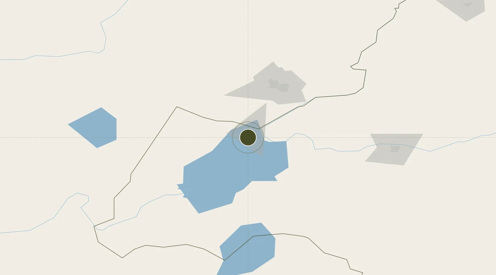
49.3877°, 117.6902°
1,217 ha
Zone area
996.8 km
Nearest port
32.8 km
Nearest airport
Gateway access
Zone profile
Zone type
Diversified Zone
Region
Inner Mongol
Status
Active
Management
Public
Operator
Management Commitiee
Legal framework
Construction started in 2004, and in 2012, it was approved by the government of the autonomous
region as an industrial park at the autonomous region level
Location
Nearby Logistics Neighbours
Ports
- 1Jinzhou Wan997 km
- 2Huludao Gang1000 km
- 3Yingkou1031 km
- 4Qinhuangdao1062 km
- 5Bayuquan1068 km
Airports
- 1Manzhouli Xijiao Airport33 km
- 2Krasnokamensk Airport77 km
- 3Chindant Air Base148 km
- 4Hulunbuir Hailar Airport156 km
- 5Step Air Base242 km
Cities
- 1Manzhouli31 km
- 2Zabaykal'sk38 km
- 3Heishantou151 km
- 4Ihrlerstein179 km
- 5Schondorf am Ammersee220 km
DatabookThe Record of Consolidated Knowledge
China beyond logistics?