Diversified Zone · China
Genhe Xingan Economic Development Zone, Hulunbuir City Active
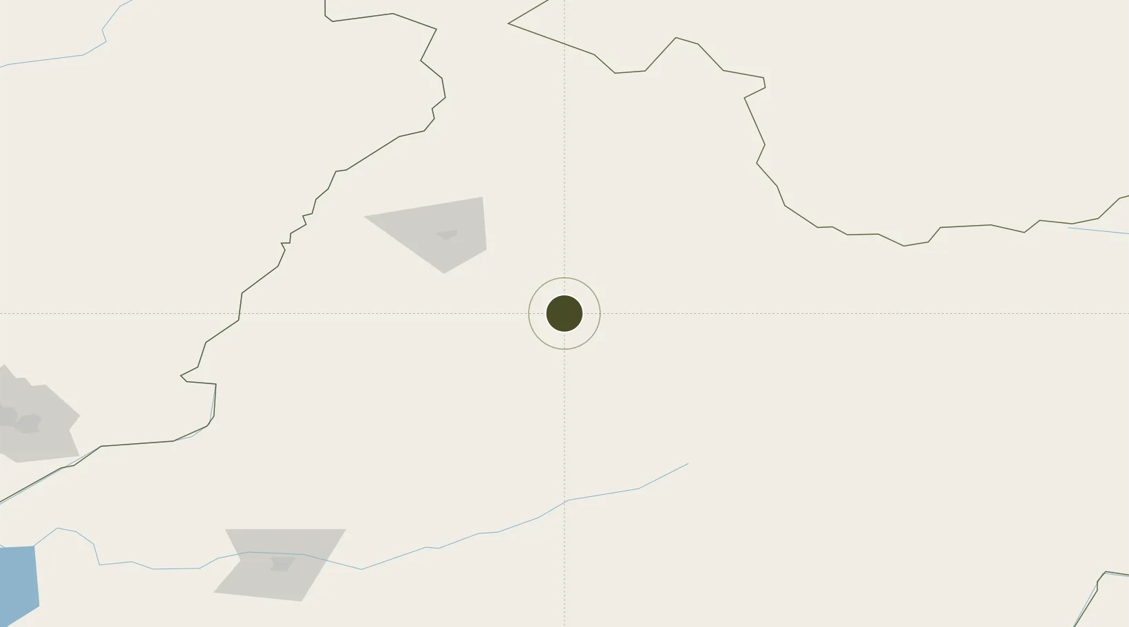
50.7786°, 121.5177°
264 ha
Zone area
1,115.6 km
Nearest port
189.1 km
Nearest airport
Gateway access
Zone profile
Zone type
Diversified Zone
Region
Inner Mongol
Status
Active
Management
Public
Operator
Genhe Xingan Economic Development Zone Construction management Leading Group
Legal framework
Regulations on Taxation Policies of National High-Tech Industrial Development Zones Approved by State Council of the People's Republic of China Mar 6, 1991; Administrative Measures for the Recognition of High-tech Enterprises; Ministry of Science and Tech
Location
Nearby Logistics Neighbours
Ports
- 1Jinzhou Wan1116 km
- 2Huludao Gang1121 km
- 3Yingkou1124 km
- 4Pos'yet1146 km
- 5Slavyanka1154 km
Airports
- 1Daxing'anling Elunchun Airport189 km
- 2Hulunbuir Hailar Airport213 km
- 3Mohe Gulian Airport246 km
- 4Krasnokamensk Airport259 km
- 5Manzhouli Xijiao Airport327 km
Cities
- 1Shiwei126 km
- 2Heishantou164 km
- 3Mohe257 km
- 4Manzhouli323 km
- 5Zabaykal'sk325 km
DatabookThe Record of Consolidated Knowledge
China beyond logistics?